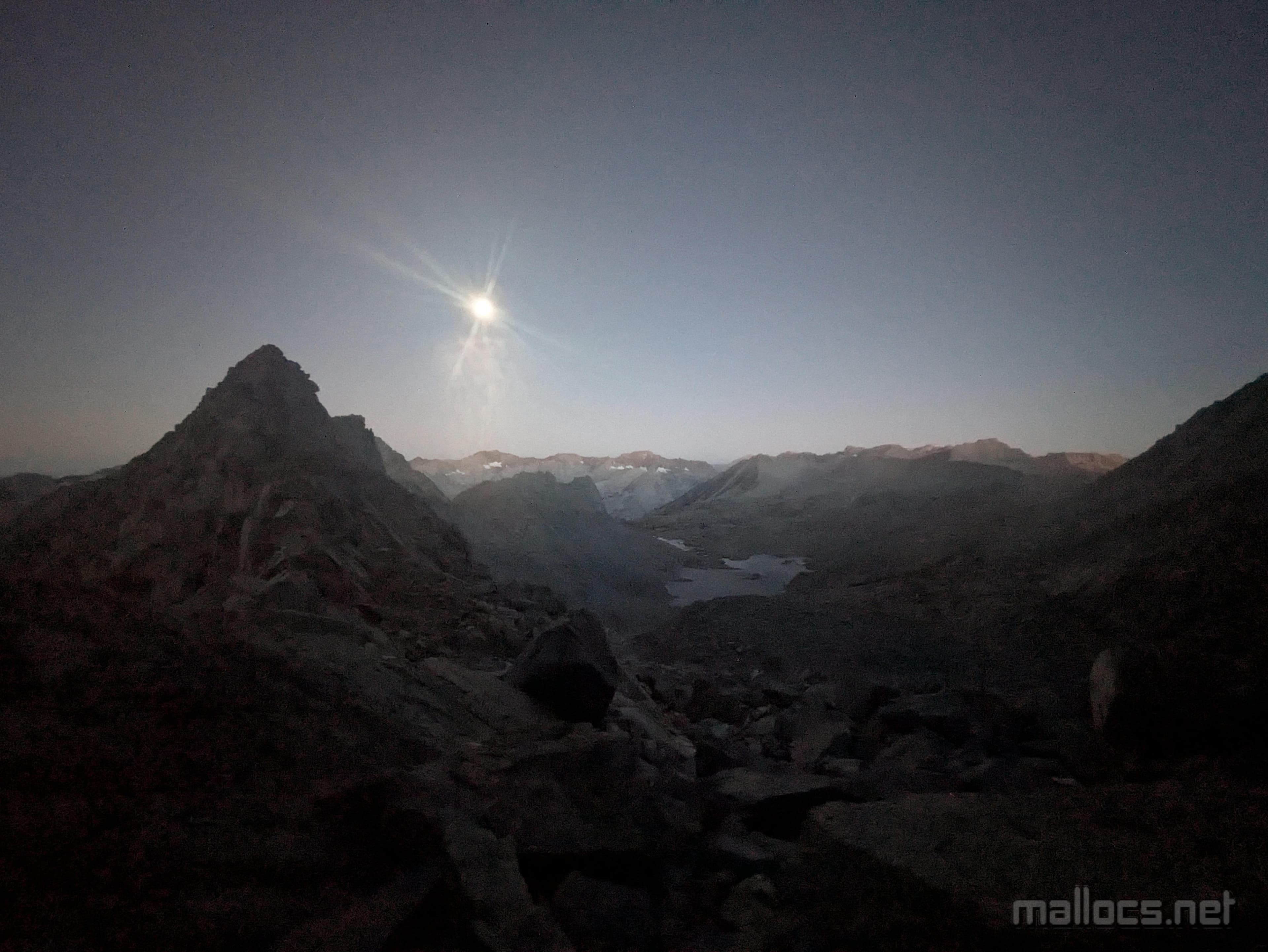
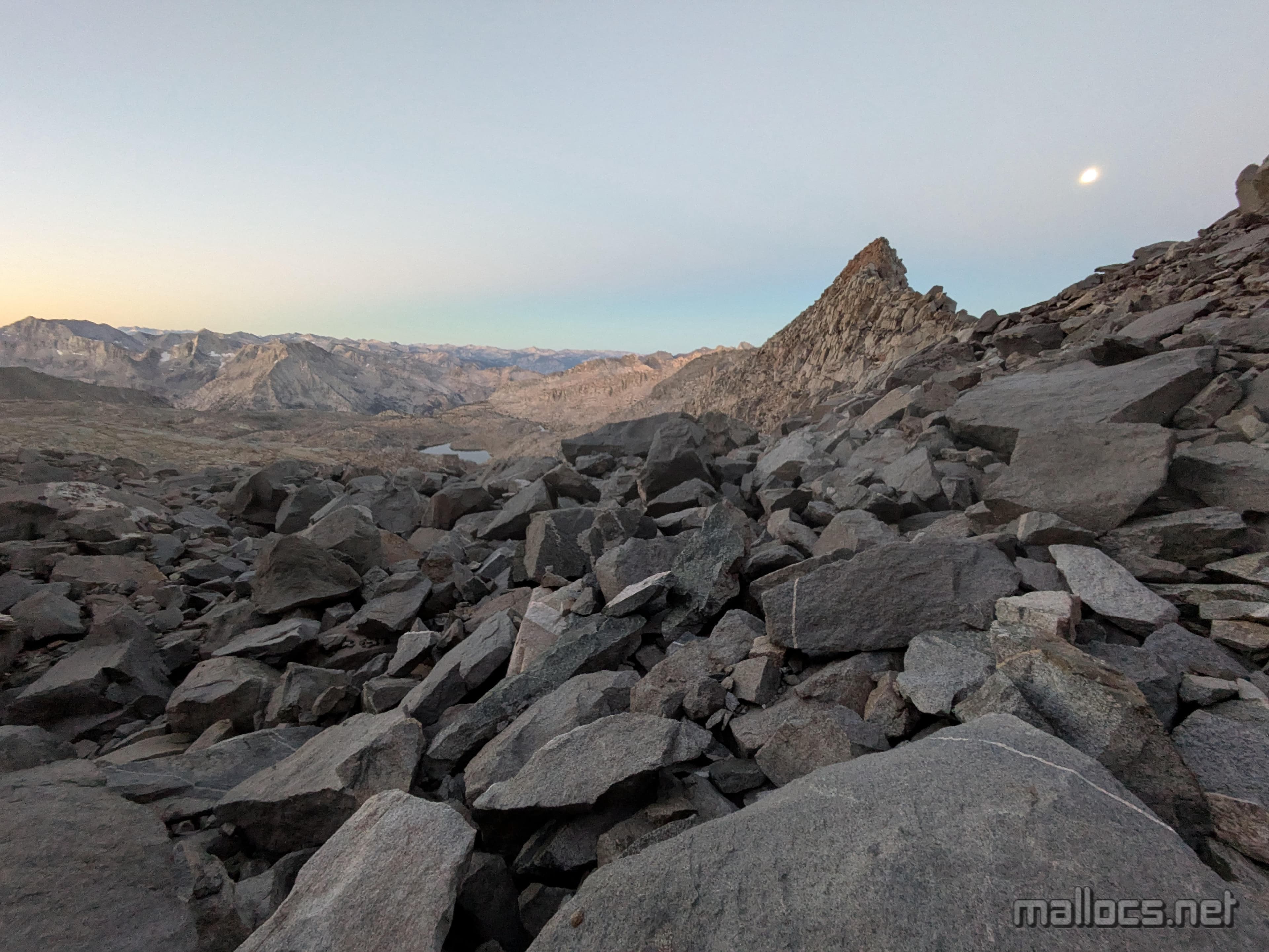
The almost full moon setting over Dusy Basin as the sun rises behind Thunderbolt.
Thunderbolt Peak Night Hike
Thunderbolt Peak Night Hike
 Marcus Ulrich
Thunderbolt is the most technical of the California 14,000 foot peaks, but only because of the last 15 or so feet. My first time trying it almost 20 years ago, I made it to those last feet but decided not to climb them. At 5.9, the moves were well within my ability, but solo at altitude in the cold and wind I wasn't 100% certain.
The memory has hung over me: Were the moves really that hard; the landing that bad? I've tried to return to the summit block 3 times since with varying degrees of seriousness. Generally, not very serious. It's recreation, right?
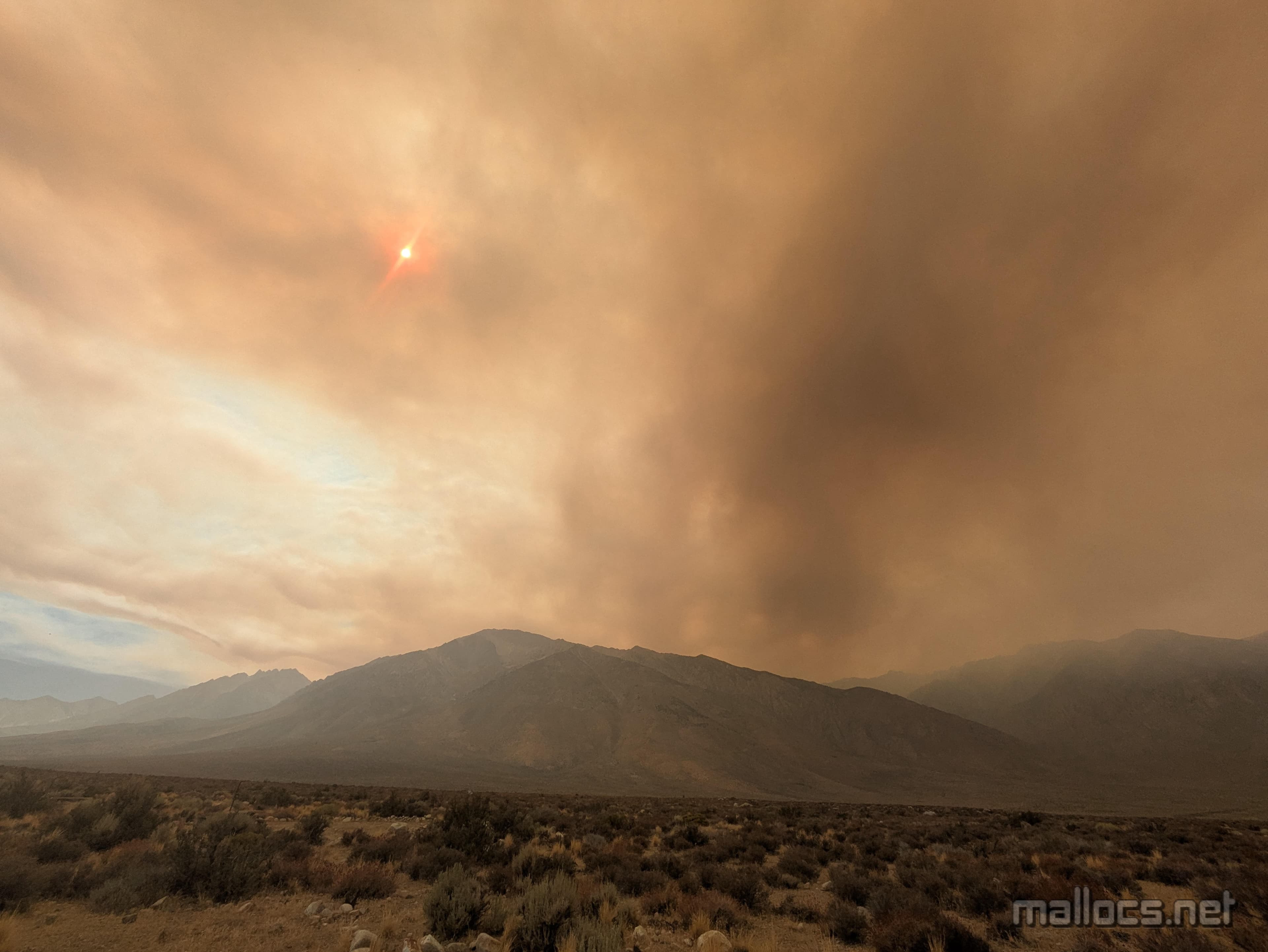
This attempt would be similarly unplanned. A fire burning on the west side of the Sierra near Sequoia National Park had been sending smoke into Bishop and left me uncertain on what I wanted to climb. I'd been thinking of going south away from the smoke and hiking Mt Williamson but decided to check on Thunderbolt at the last minute. I drove to the start of the route: the Bishop Pass trailhead. If it was smokey, I'd head for Mt Williamson. Or maybe I'd just go back to the campground and spend the night sleeping like a normal person.
Near Bishop, the haze was so thick I couldn't see the mountains, but as I opened my car door at the trailhead I couldn't smell any smoke. The air was eerily still and despite the parking lot being almost full it was completely quiet. Well, it was after midnight.
By leaving in the middle of the night a couple days after the full moon, I would give myself maximum daylight in case anything went wrong and also avoid a lot of harsh, high-altitude sun. Really though, it's just fun to hike in the moonlight and it's something I'd recommend to anyone with decent route-finding skills.
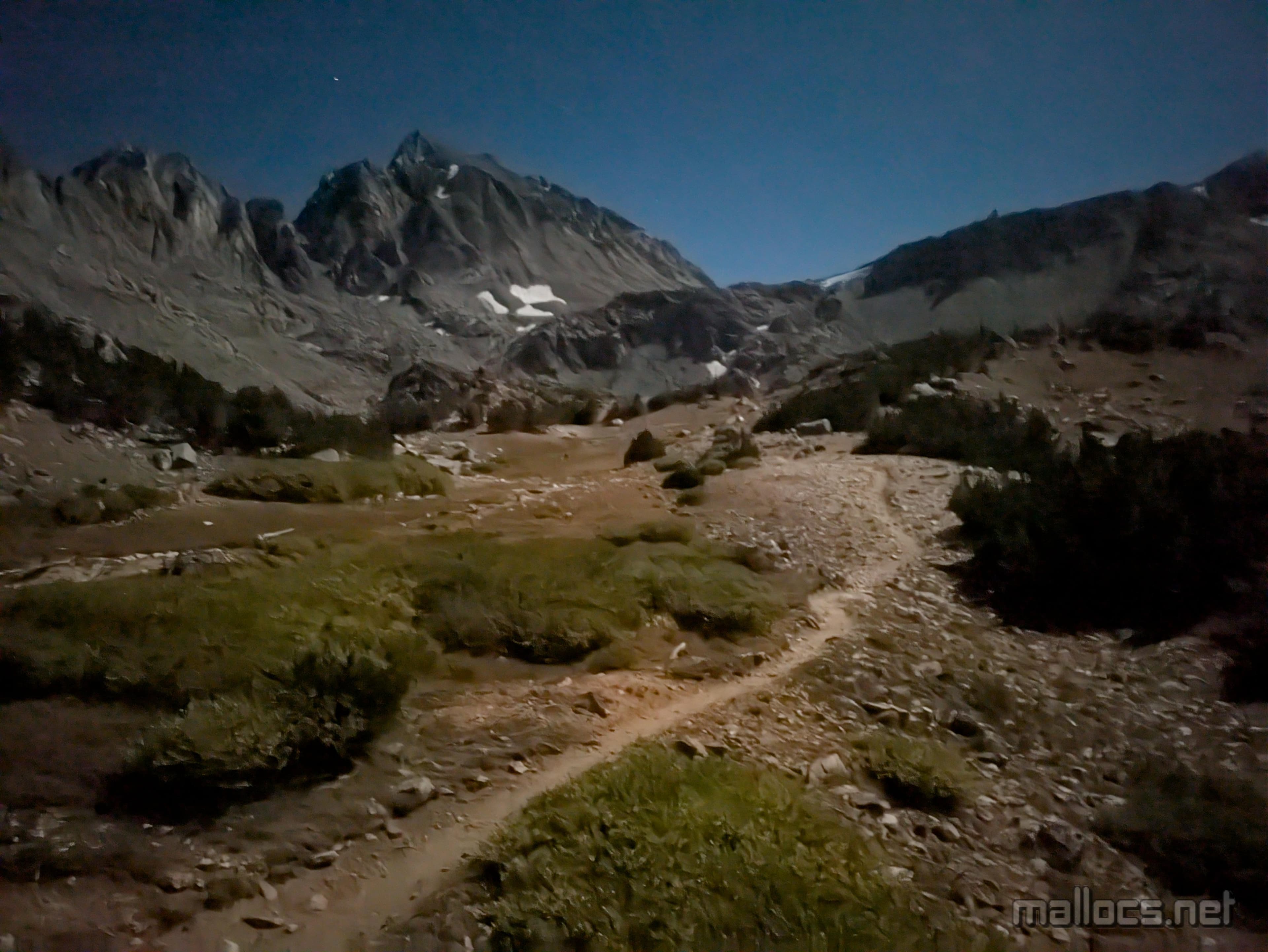
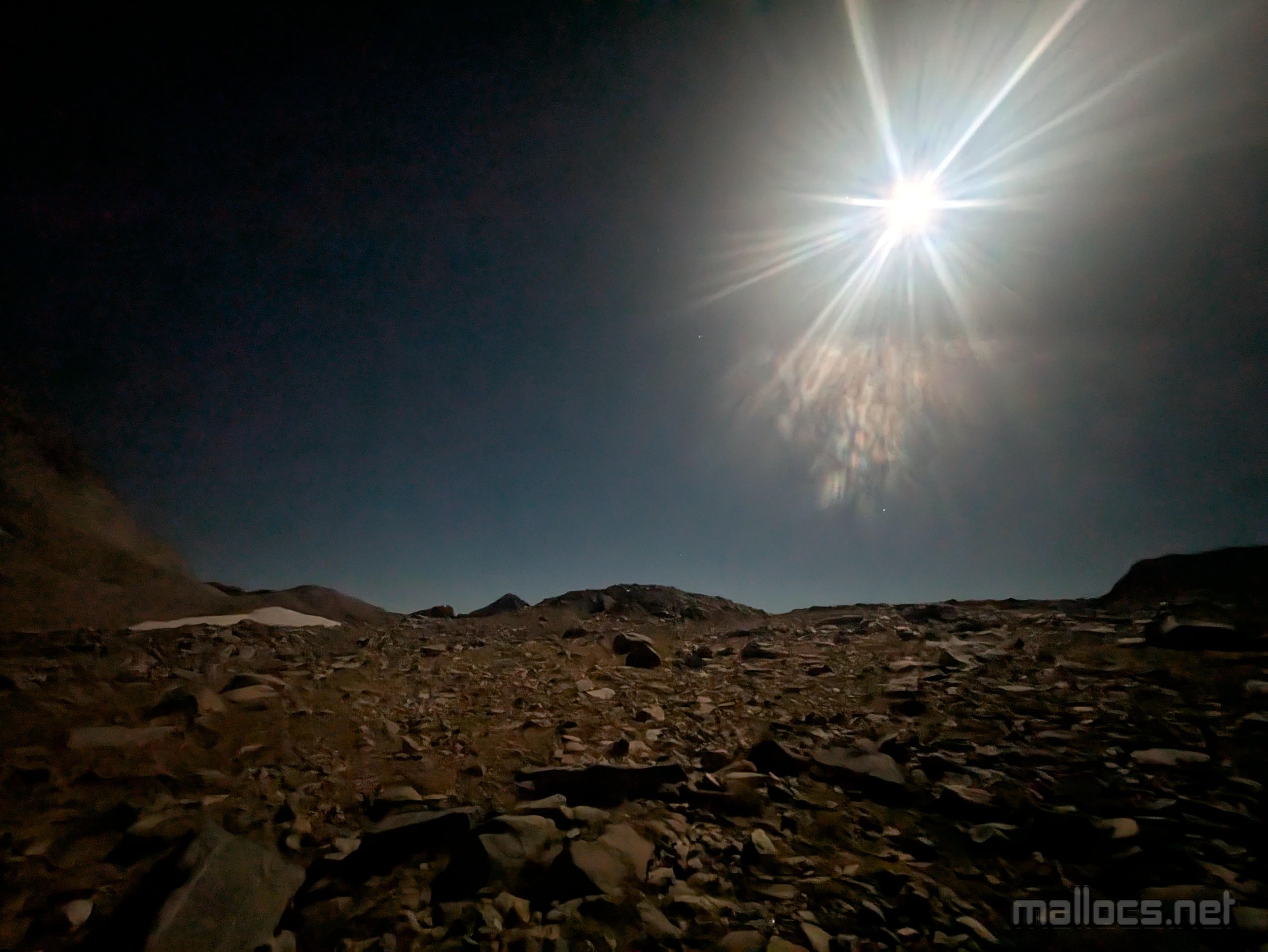
Conditions felt great this night, but hiking under moonlight feels like hiking on another planet. There's light and even shadow, but everything far less vibrant. Add sleep deprivation and it can feel like hiking in a dream state. Despite stopping constantly to take pictures of the alien-feeling landscape, I made the 5.5 miles to Bishop Pass in a little over 3 hours.
Things started to feel even weirder at this point. It was well past 3 am. The route leaves the trail and heads cross country towards Thunderbolt Pass. On previous attempts, I'd spotted cairns that mark the best departure point, but this time either I missed them or they aren't there anymore.
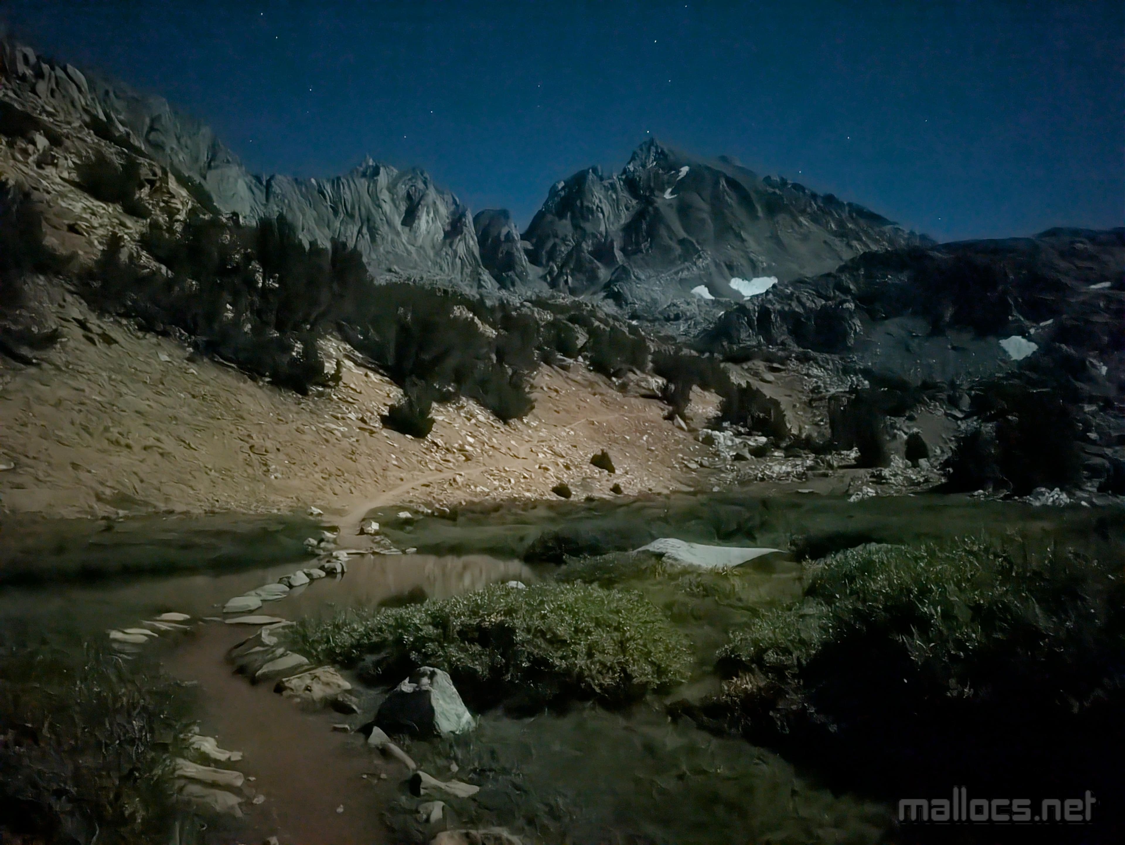
Regardless, I probably descended too low. Maybe. No matter, I could see Thunderbolt Pass. I think. Everything looked different from my memories from 10 years earlier. I remembered a large lake at the bottom of a sloping hillside and all I could see was rocky landscape in all directions. Oh well. I trudged on. The only noise an occasionally bird roused from sleep, but even they seemed to be chirping more quietly. Some bright stars danced around Thunderbolt Pass, and I stopped to make sure I was imagining the movement and not about to get abducted by a UFO.
About a half mile from Thunderbolt Pass, the route changes from easy cross country to hopping along every kind of boulder imaginable: From small blocks that often roll and might break your ankle, to giant house size blocks that rarely roll but will definitely crush you if you're below. Also, a large lake will come into view below.
I made it to the pass just as the moon was setting and the sun rising. I had planned this to the extent I plan anything. I knew the moon setting in the west would still light up the west-facing chute.
I considered taking a nap, but the 4 Clif Bloks with 50 mgs of caffeine each had me feeling pretty wired and I wanted to get as far as possible before the sun came up.
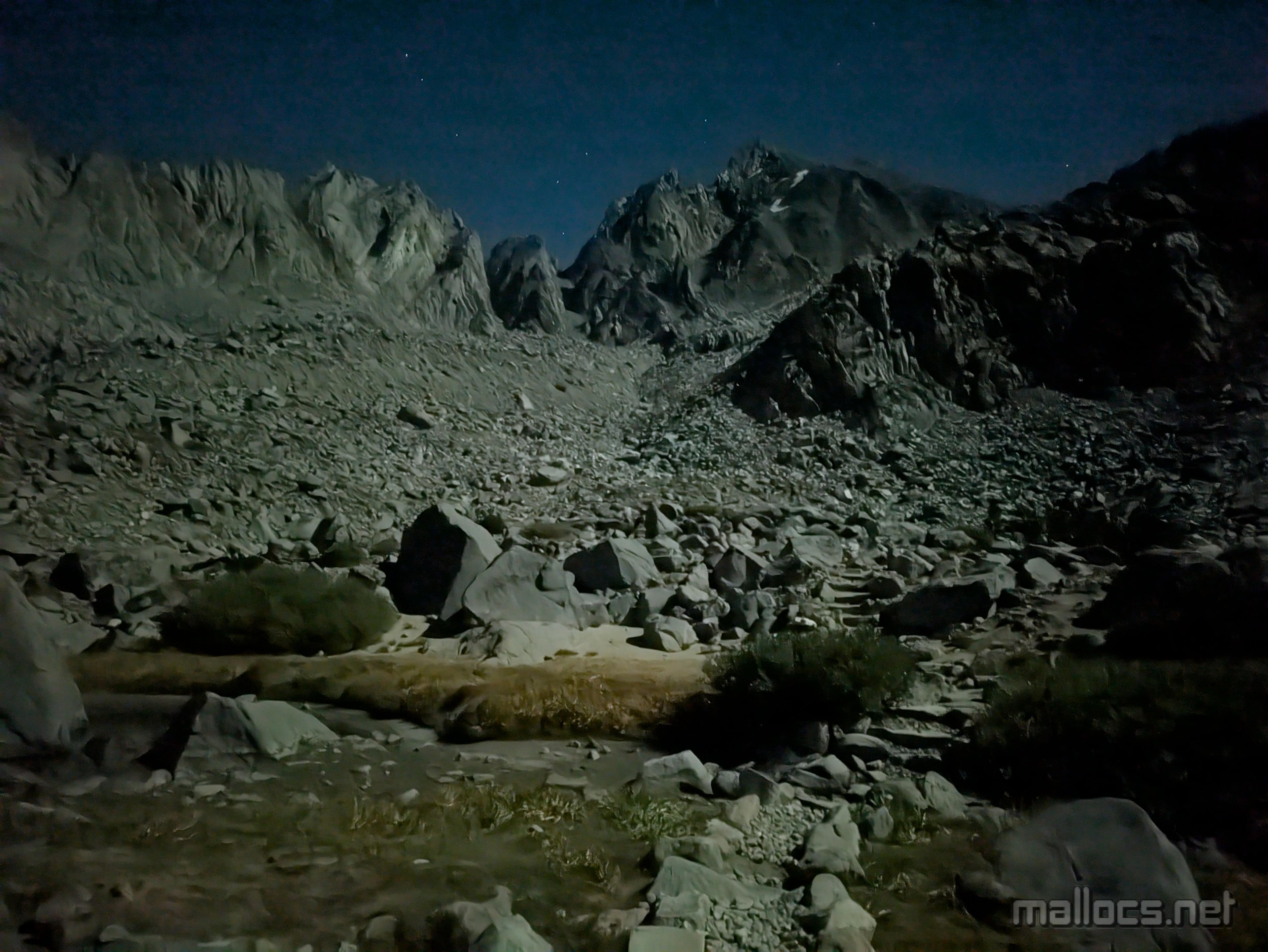
The route I was following, Southwest Chute #1, starts immediately behind Thunderbolt Pass. The boulder hopping quickly turns to scree climbing. I found the most stable rock by staying as close as possible to the sides of the chute.
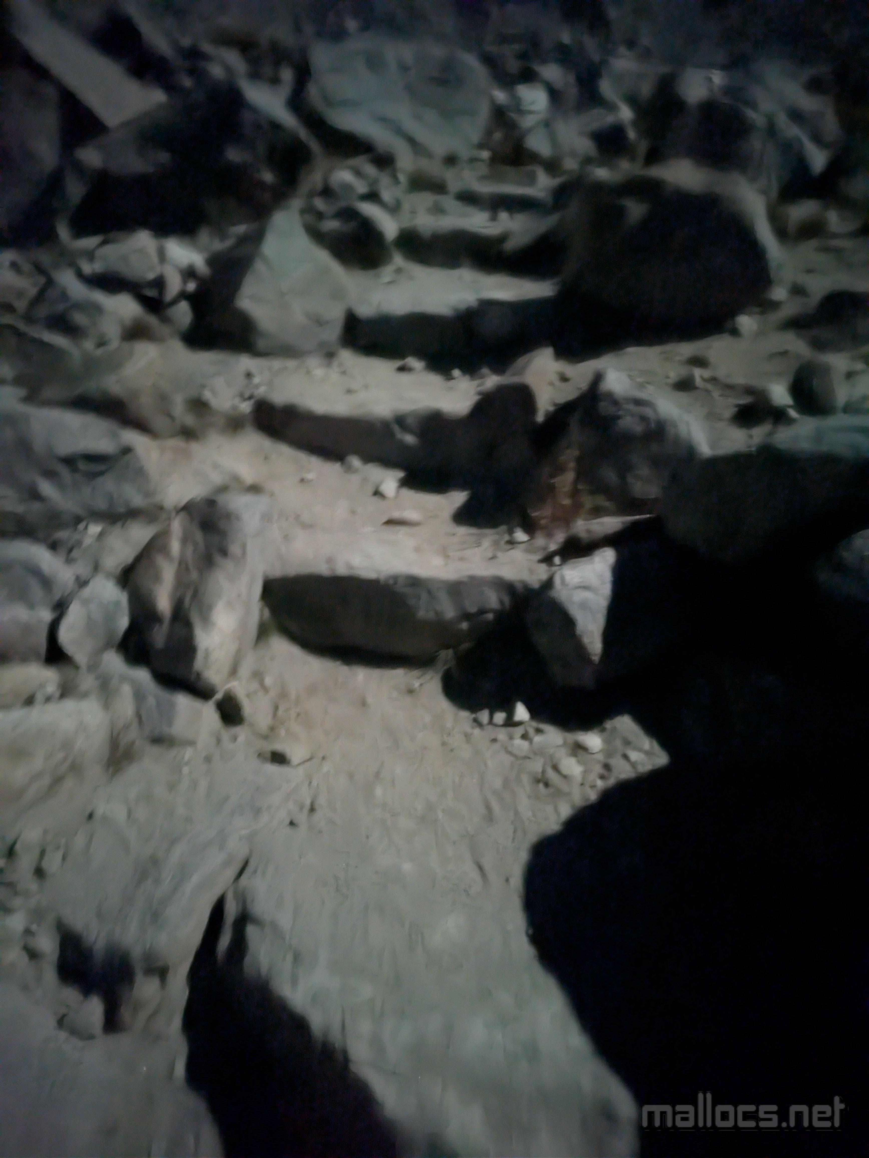
A giant chockstone blocks the chute about 20% of the way up but an obvious ledge system traverses around it. Exiting out of it proved trickier than I remembered. I did a couple class 4 moves below some rap anchors. It looked like heading further out the ledge system may have been easier.
Continuing on up the chute I still felt great. Constant hill running had paid off. Or maybe it was just that I'd gone light and not brought a rope.
Unlike previous attempts, I remembered to always stay right while heading up the chute, so I didn't end up on the Thunderbolt false summit.
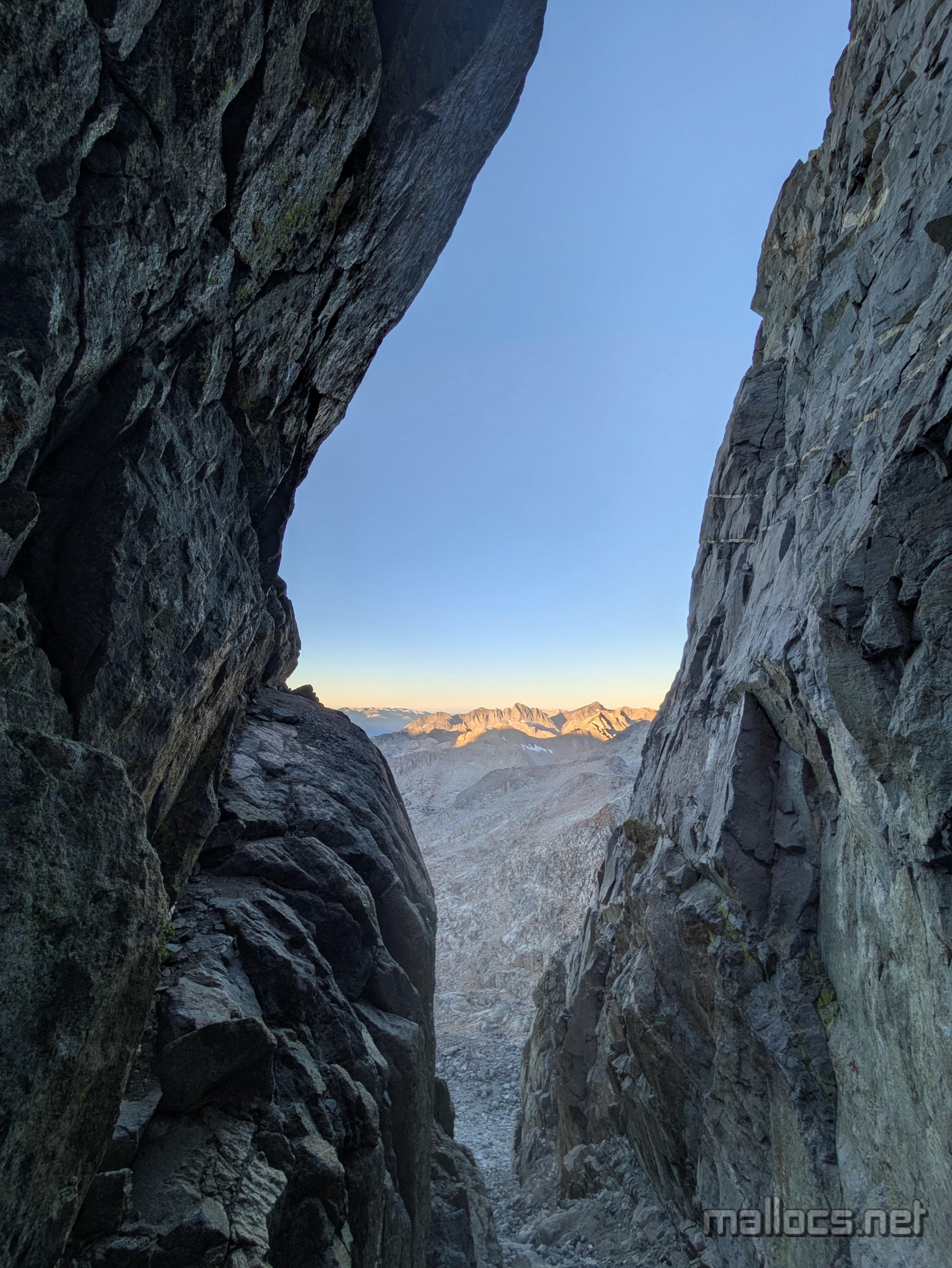
At the top of the correct chute, there's a short exit tunnel. When I reached it, I knew I'd gone the right way. I also realized the wind had kicked up and the temperature dropped, as it tends to near summits. My feet and hands were starting to go numb. Fortunately, I'd brought long underwear and a second pair of heavy socks. I tried not to shiver too violently as I switched into these.
Properly geared up, I crawled through the tunnel and was greeted by my first rays of sun for the day and what I consider the most spectacular sight in California below me: the Palisade Glacier. Also, another route finding challenge. I'd remembered this as being about 50 feet of easy but extremely exposed class 4 climbing. I headed up a section of rock about 20 feet beyond the tunnel and found the climbing harder than I remembered but the exposure not as extreme. I went down and considered the route more carefully. My second try was a little easier; not as easy as I remembered, but also not hard enough for me to bother putting on climbing shoes.
About 40 feet up, I reached a large platform-shaped rock and one more section of climbing before the summit block. This last section, while somewhat exposed, turned out to be pretty easy. I also didn't remember it, which makes me think I'd previously gone up directly after exiting the tunnel at the top of the chute as this would have lead directly to the summit block.
Finally, I was on top! Err, almost. Again. Here it was. I could see the holds and they looked great. I could see the slab at the top, and it looked easy but terrifying. The initial moves have reasonable feet and hands but are out left where there's nothing but cliff below. You then go back right above a couple jagged pieces of the summit block which you could easily fall between but at least it's better than a cliff.
I pretty quickly decided that it wasn't the day I would climb Thunderbolt. Only feet from the main summit, there's a sub-summit that's trivial to get to the top of and you can raise your hand higher than the main summit. The only reason for me to climb those last feet would be so I could say I'd climbed Thunderbolt and that's something I just don't care about. At least until I return feeling bolder ... or maybe carrying a rope.

While a little past full, the moon was still bright enough to read by.

South Lake

I didn't miss this junction on the way out, but you can see in my GPS tracks I did on the way back when I was tired and sick of hiking.

Long Lake

Saddlerock Lake
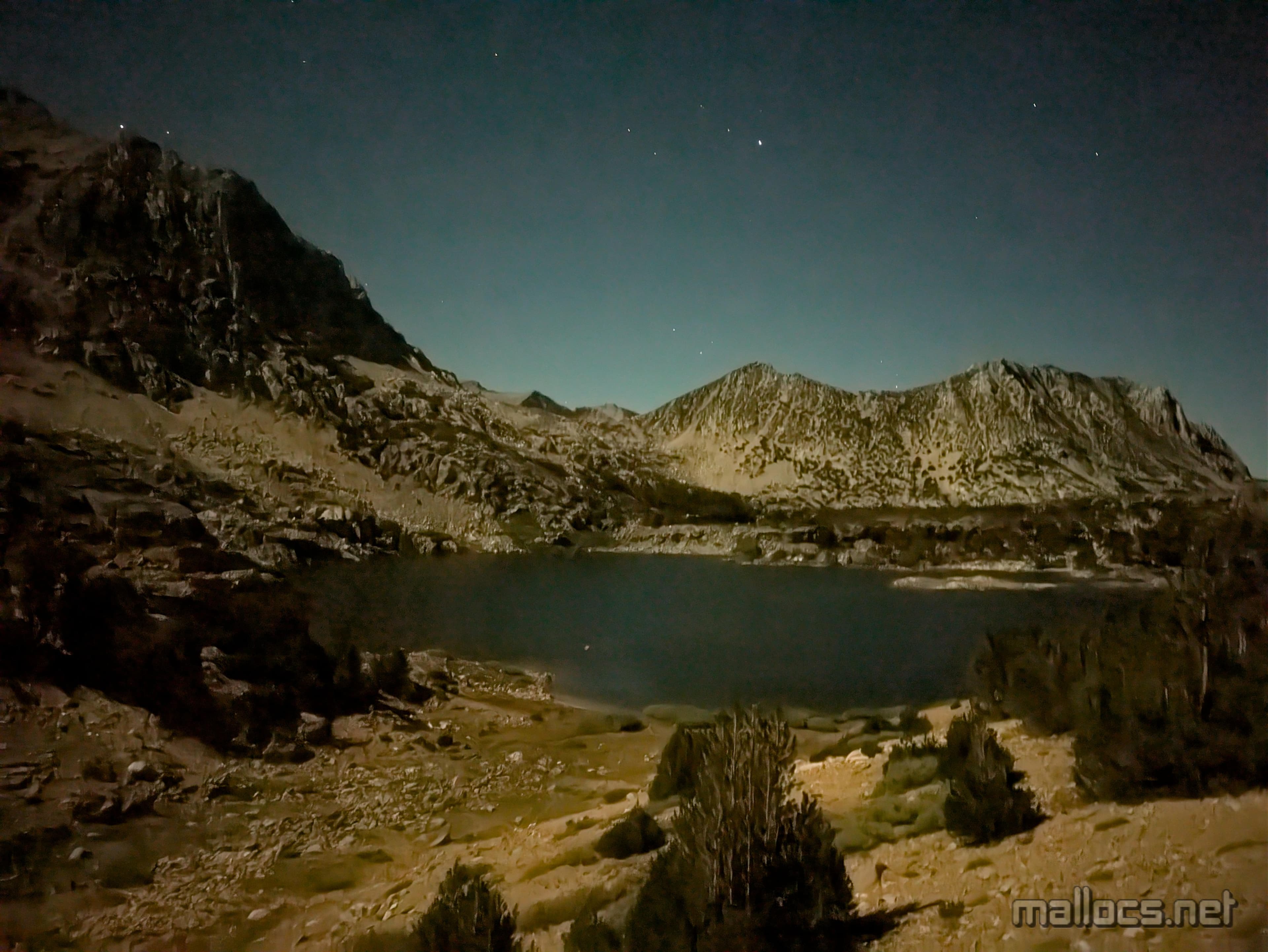
Saddlerock Lake from above

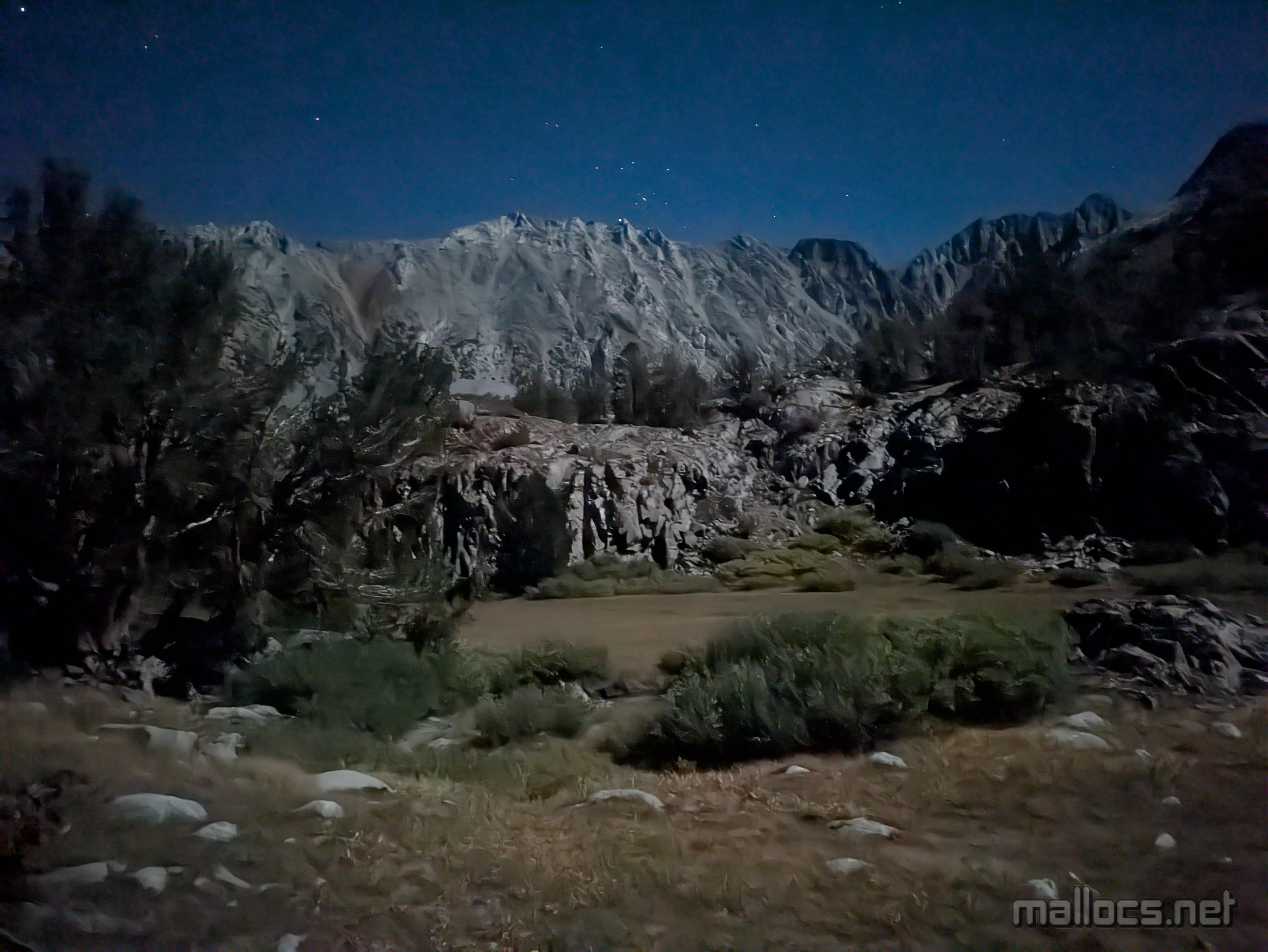
Moonlight hiking can feel disorienting. Familiar but weird.

High above the lakes almost at Bishop Pass.

The South Pole of the Moon
oh wait, that's the moon up there.
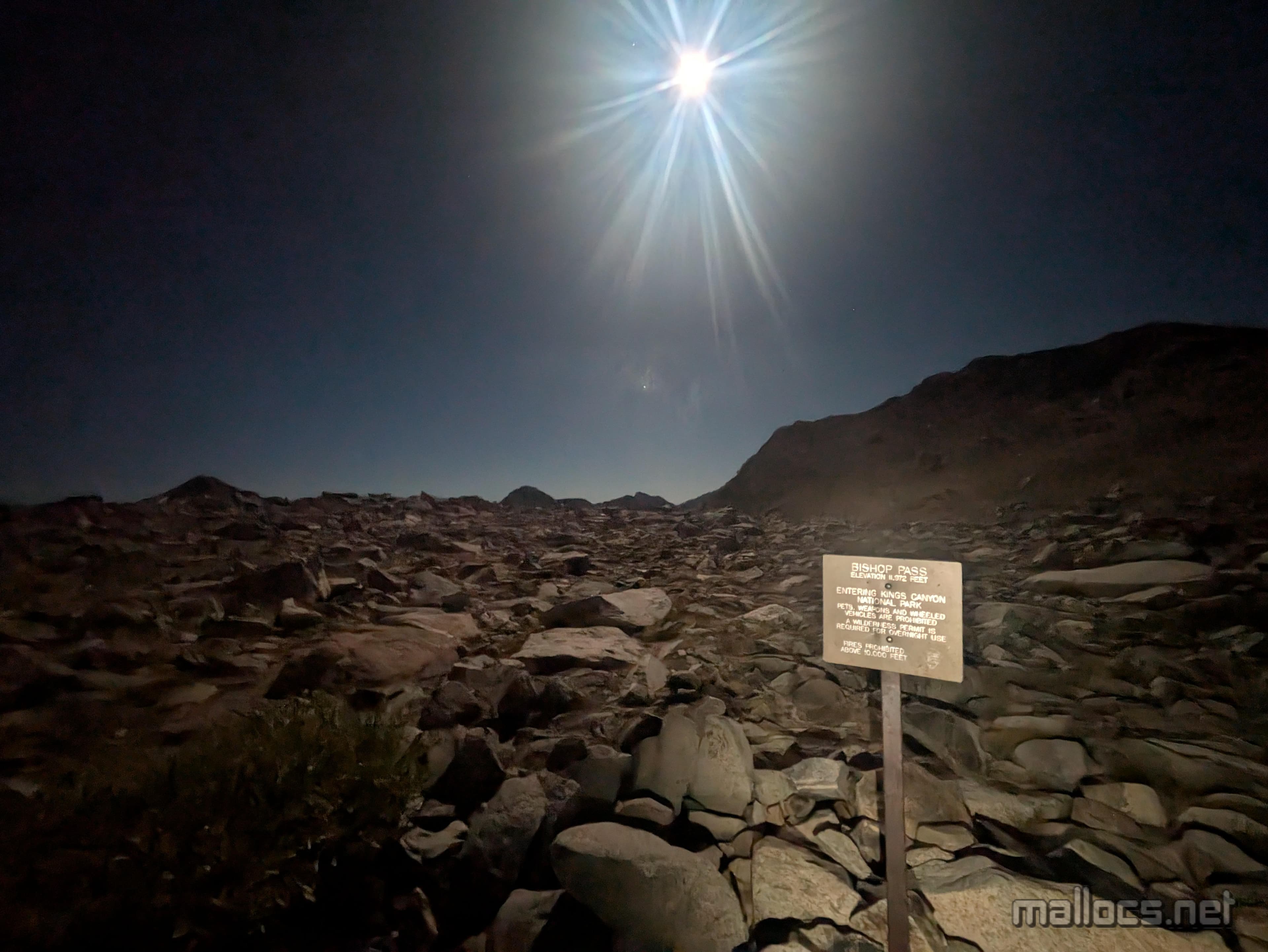
Bishop Pass!
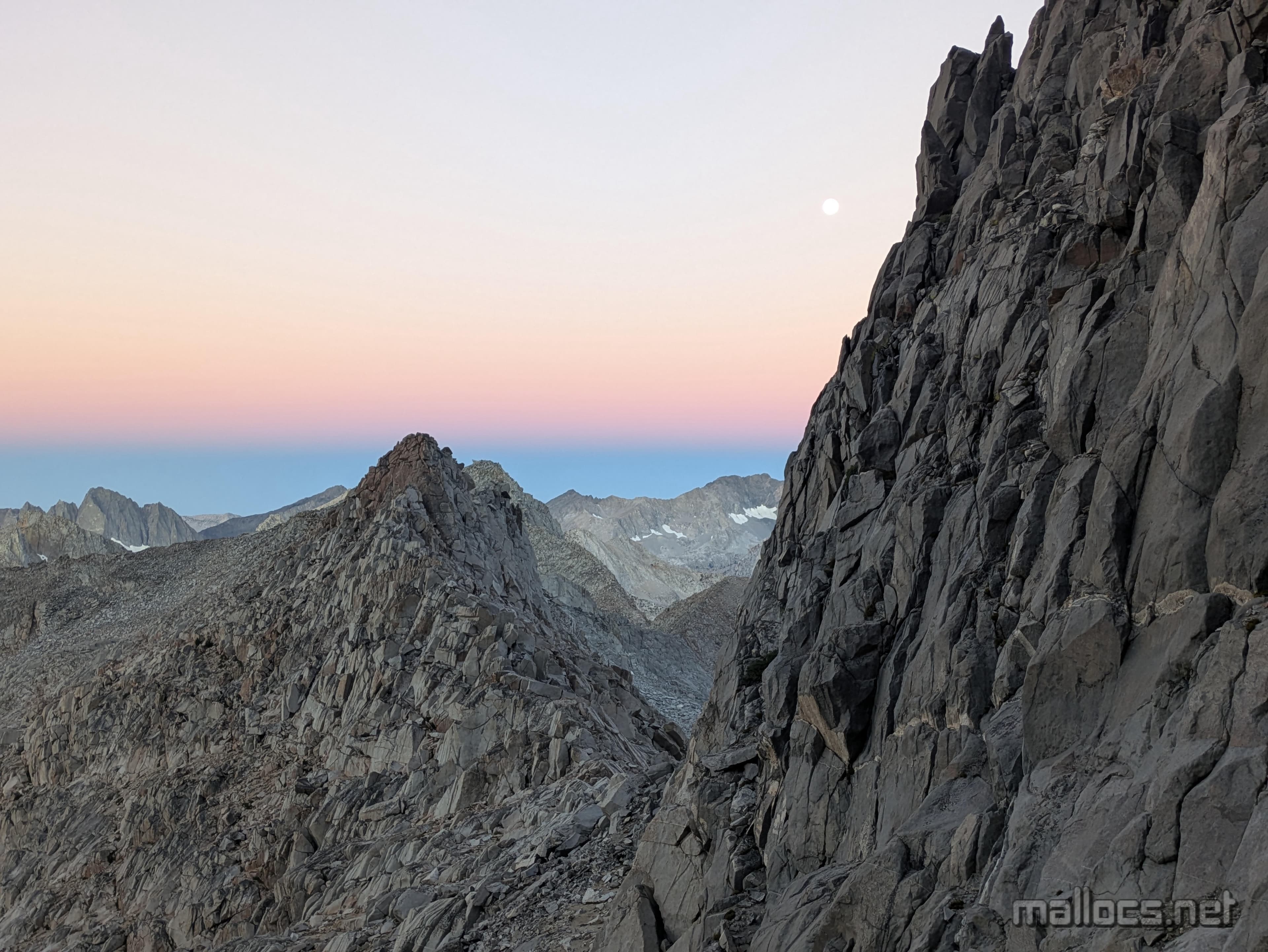
Thunderbolt Pass. I had to stop and make sure the stars dancing around weren't UFOs about to abduct me. I distinctly remember two or three directly above the pass that don't seem to be showing up in this photo. hmmm

I'm still smiling, see?
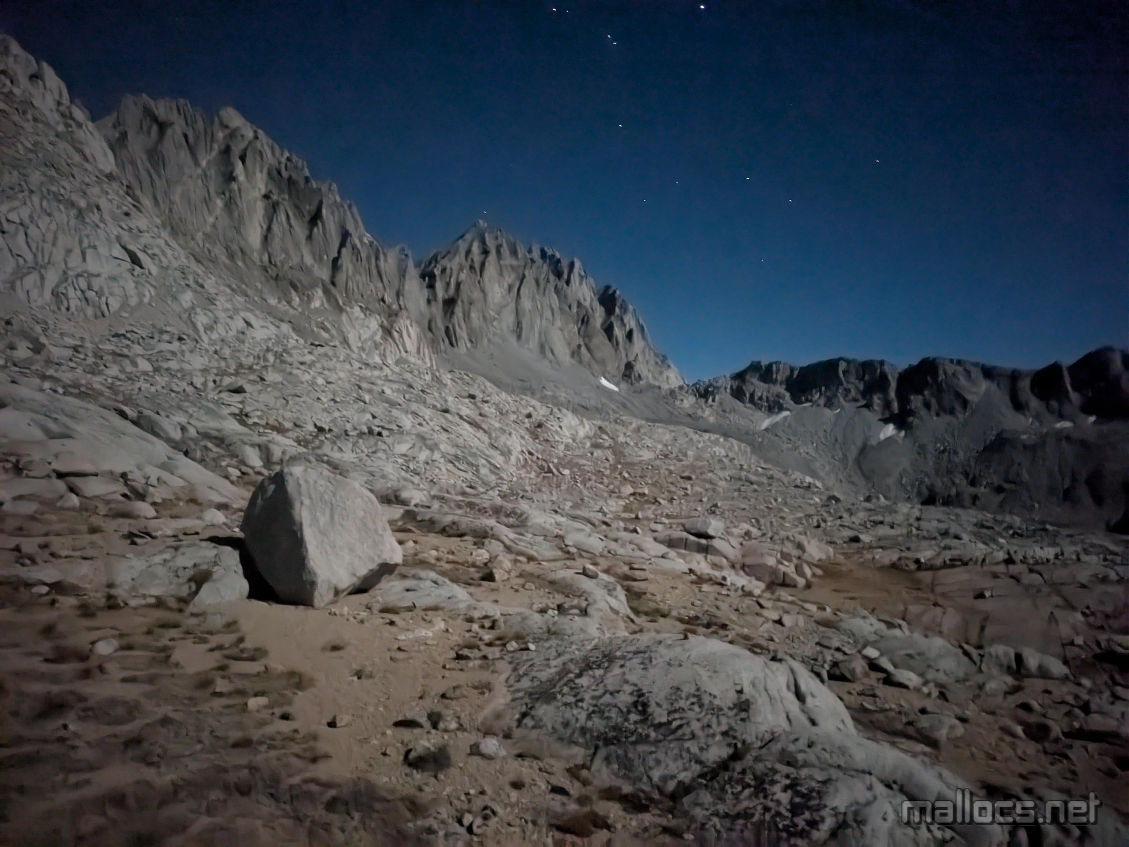
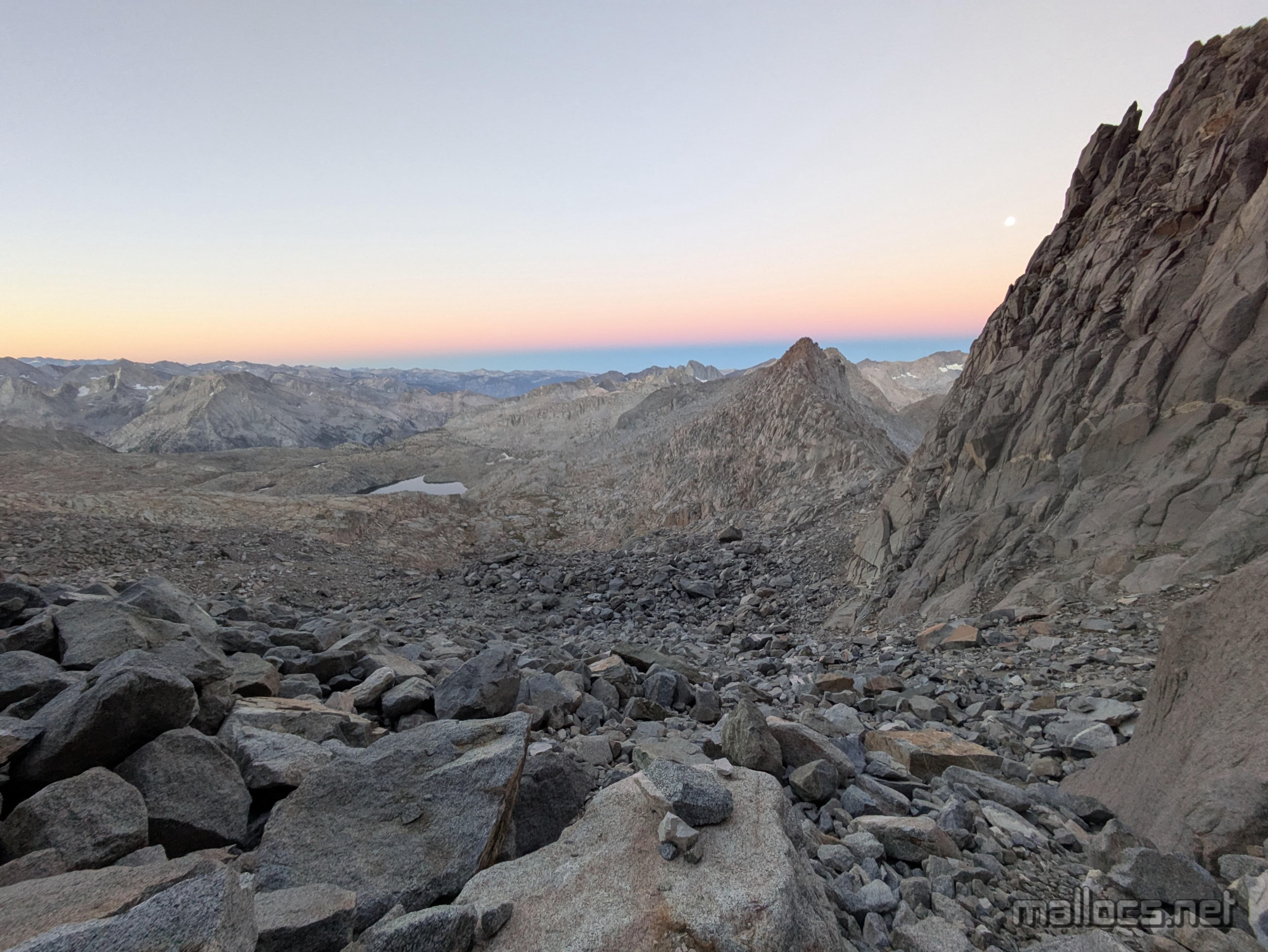
Every kind of rock pile you could ever want.
Cool things you get to see when you hike through the middle of the night. Or wake up early I guess. eww.
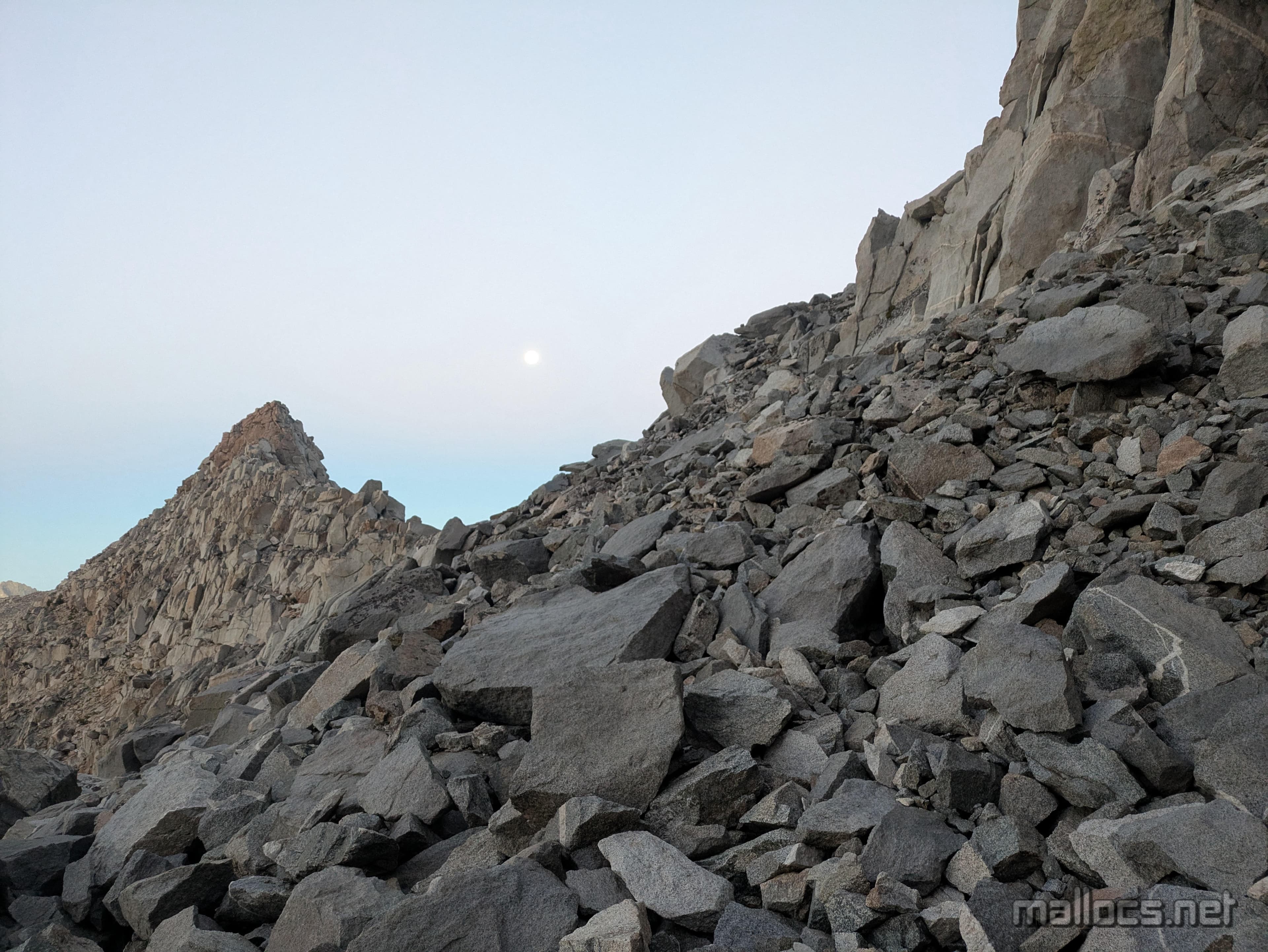
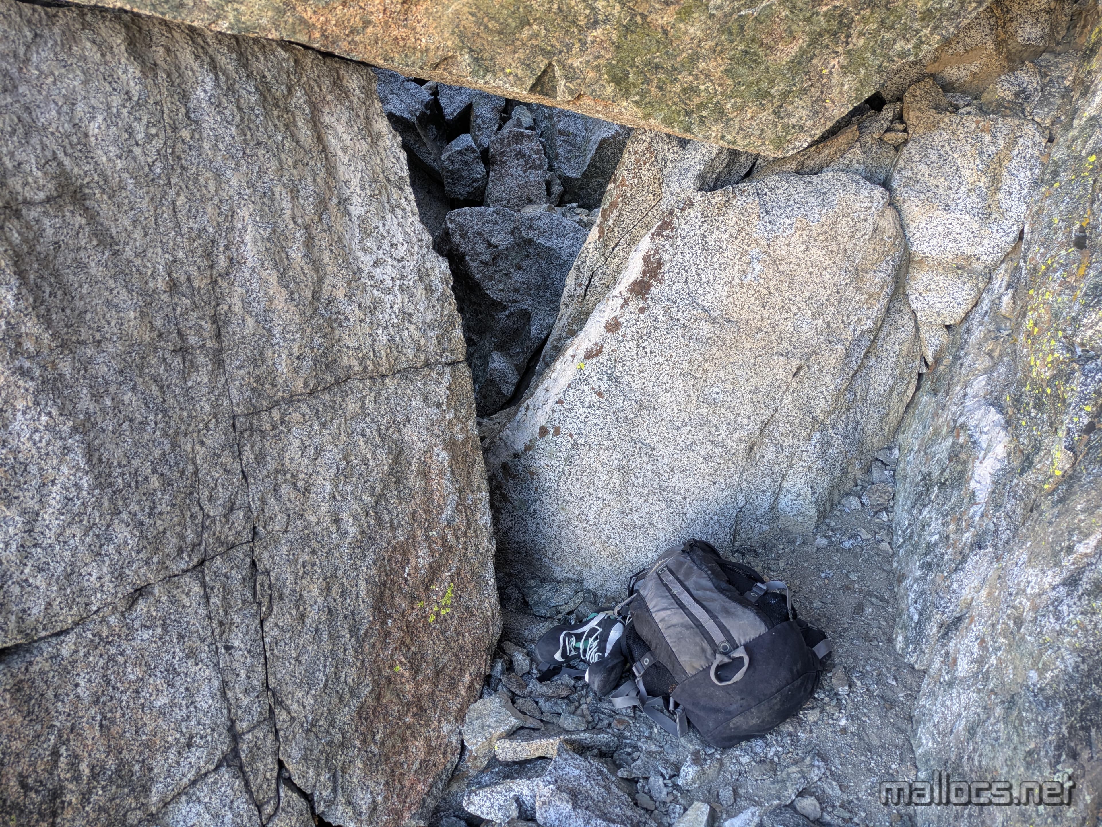
The rocks were a little more stable right next to the wall.
Trying not to break my ankle miles from the trailhead but the moon keeps distracting me.

The ledge system below the chockstone.

Almost there! The Palisade glacier and smokey air that fortunately stayed down in the Owen's Valley. There's still some easy 4th to 5th class to the final summit block depending on how good you are at route finding.
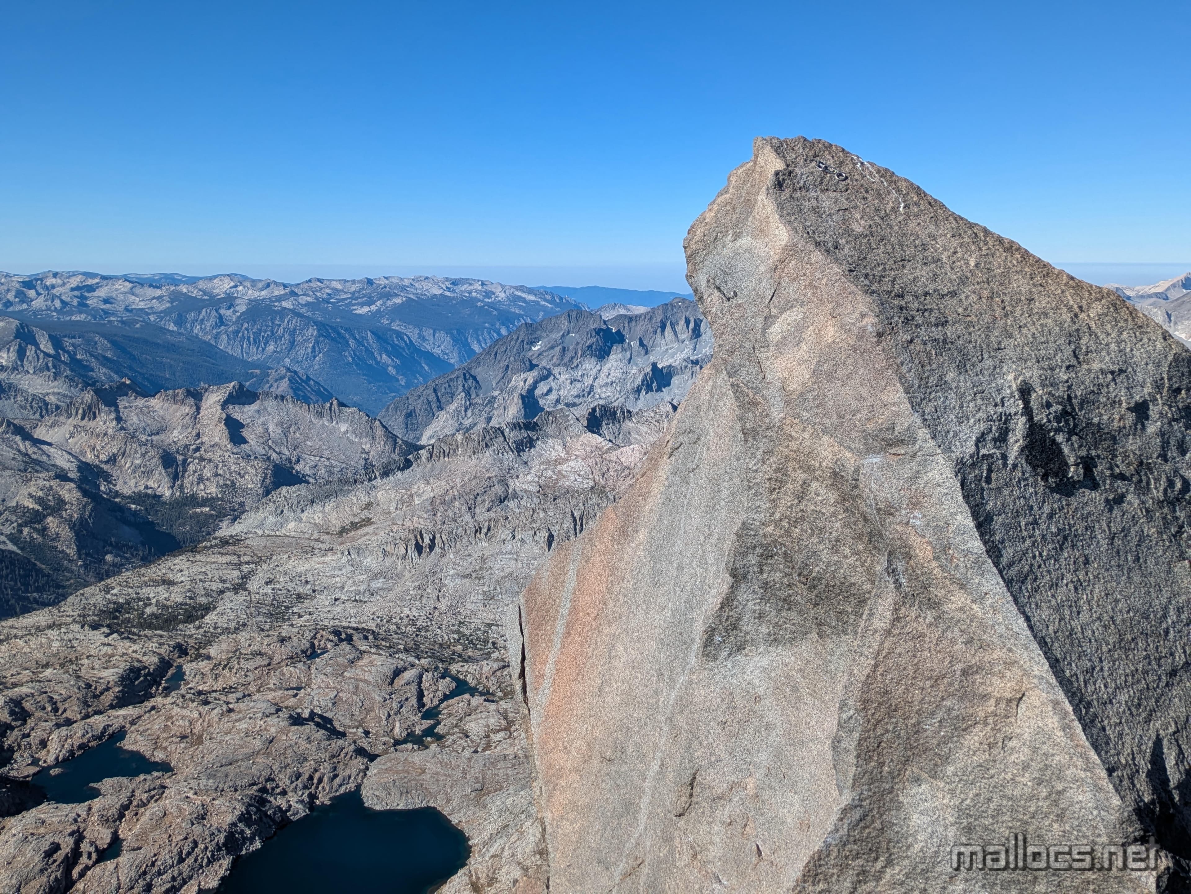
Thunderbolt summit block I still haven't touched the top of. I did put my hand higher than it from the spot I took this photo from though.

On top of Thunderbolt (junior)

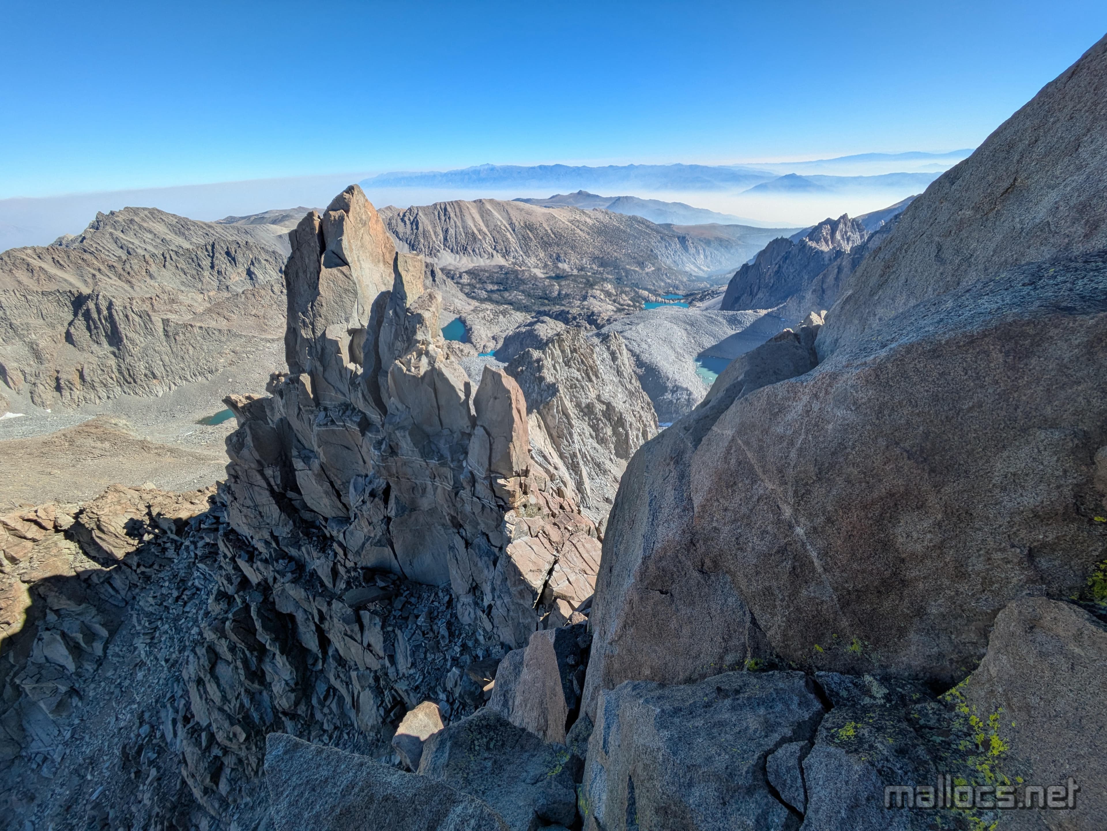
Mt Sill is the main peak below and to the left of the sun. The Starlight Peak Milk Bottle is to the right. So cool.
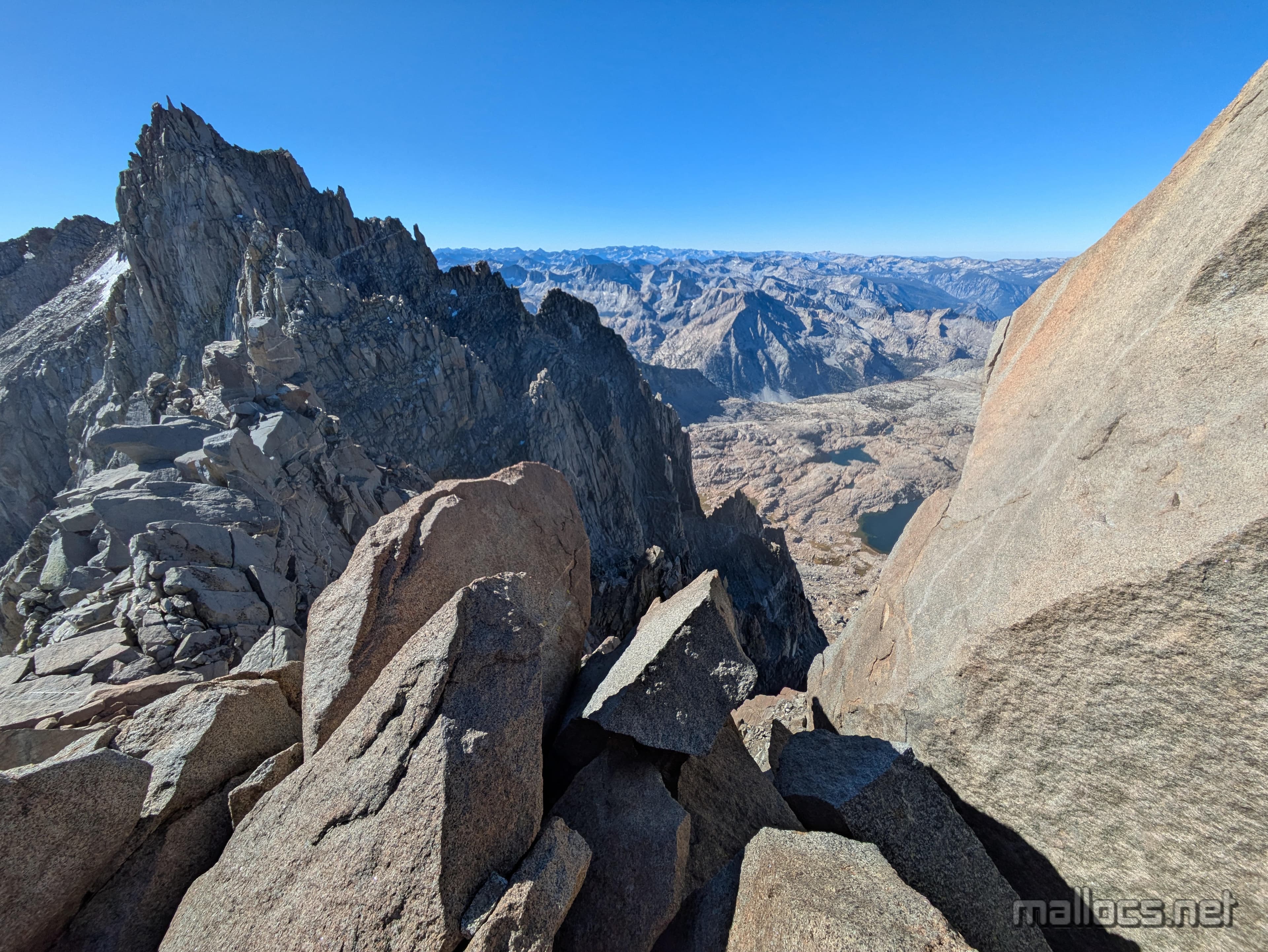
The false Thunderbolt summit I've accidentally almost climbed twice. It also has a heinous summit block.

Oh look, Mt Tom hiding in the distance. Looks like camp will still be pretty smoke when I get back.
I forgot again to get a good shot of the base of the summit block, but the climb starts around the bottom, right here. Fall too far to the left and you go hundreds of feet. Best to fall to the right, but there's just a couple jagged blocks that you'd most likely slide through before stopping wedged some ways below.
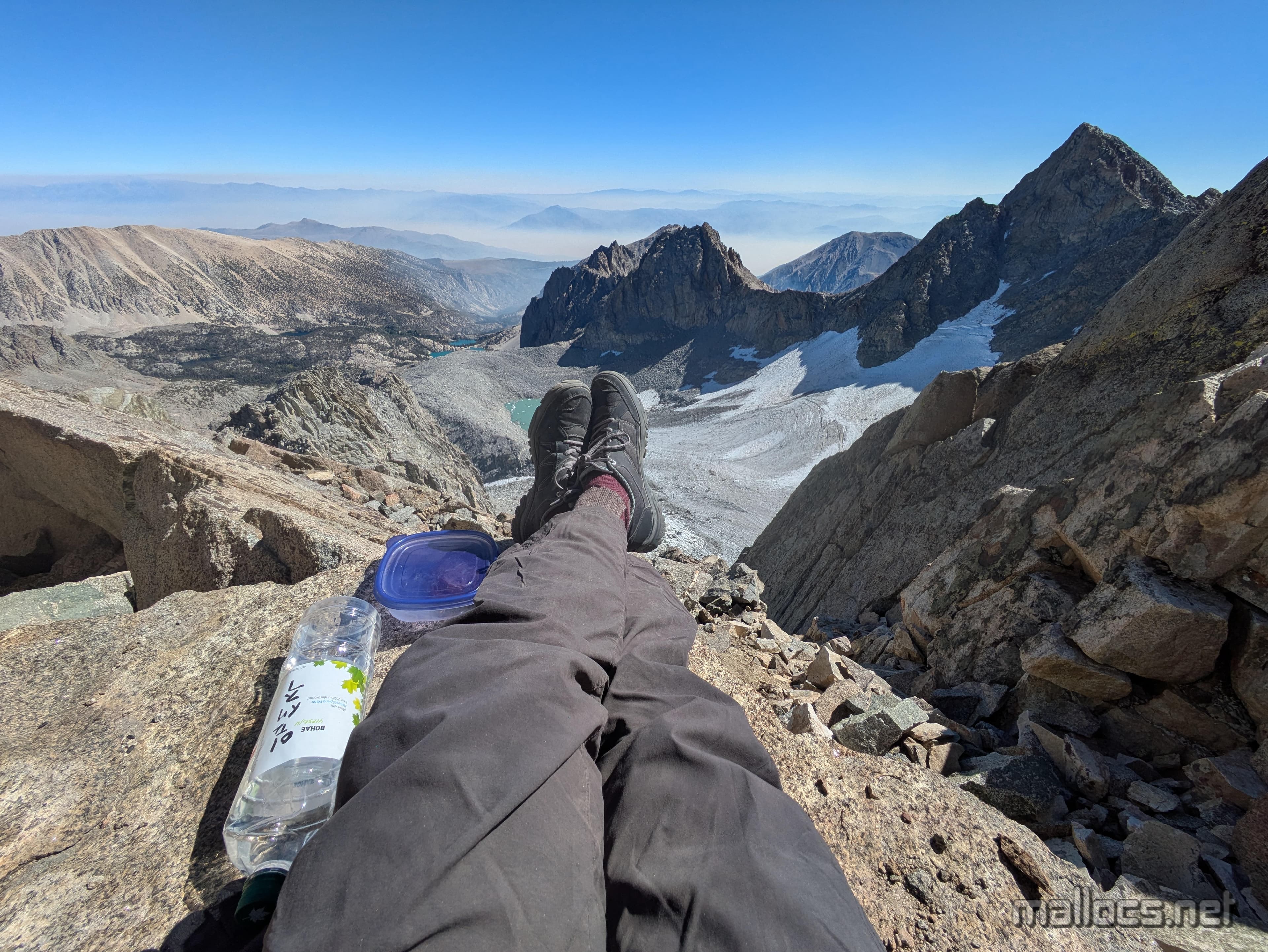
I headed back down to the col before resting.
The fun tunnel you have to squeeze through at the top of the chute. Immediately after you get your first views of the Palisade Glacier.

Looks pretty different in daylight. Well, still kinda gray. Apparently this is the last photo I took since I was in go-go-go mode. I stopped my GPS tracker when I reached the car at 4:31 pm, so about 16 hours 15 minutes car to car.
Sunset the (smokey) afternoon before back at camp.

Moonrise the (smokey) night before back at camp.
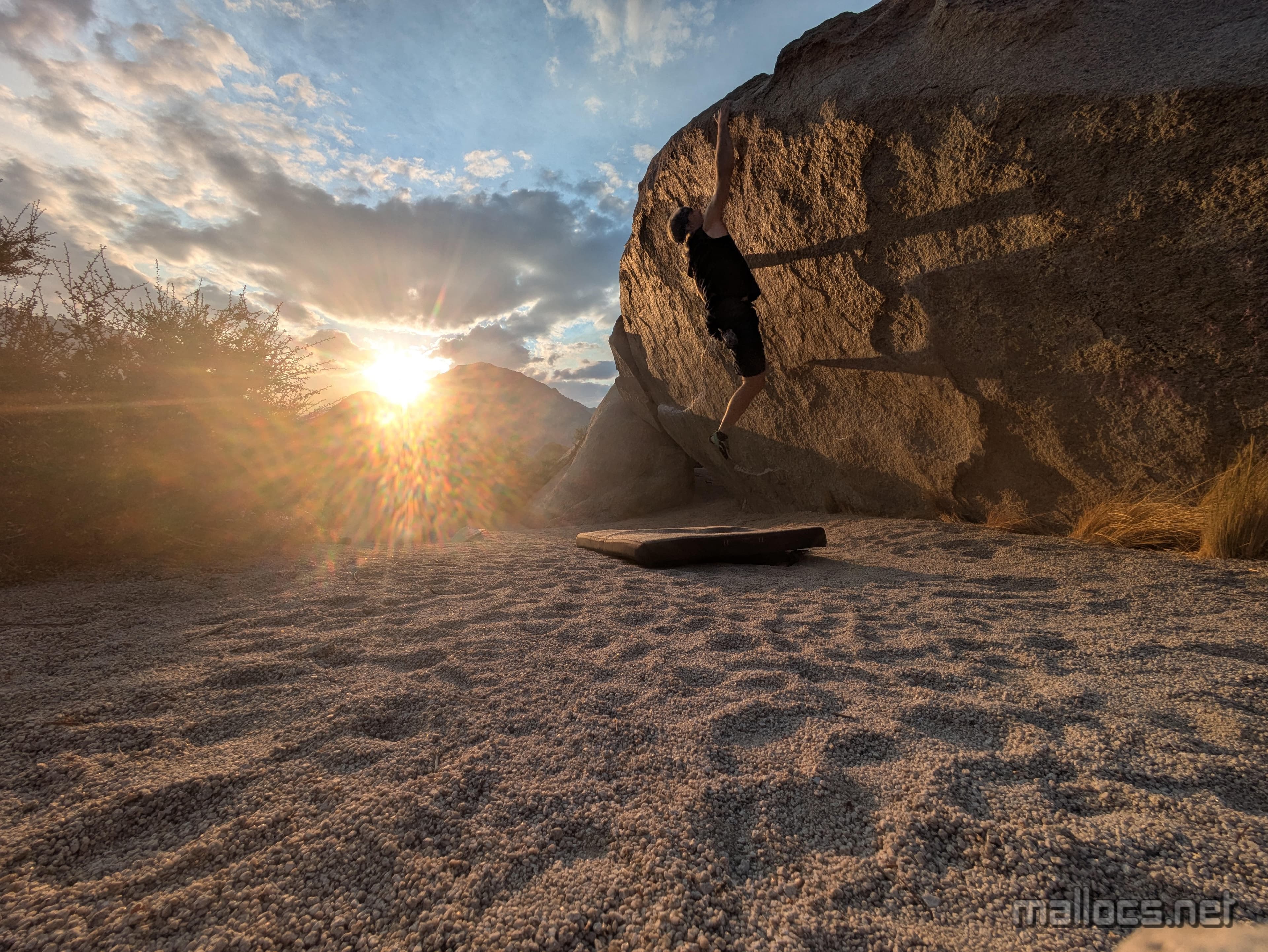
Bouldering a couple days earlier. Ironman Traverse, V4