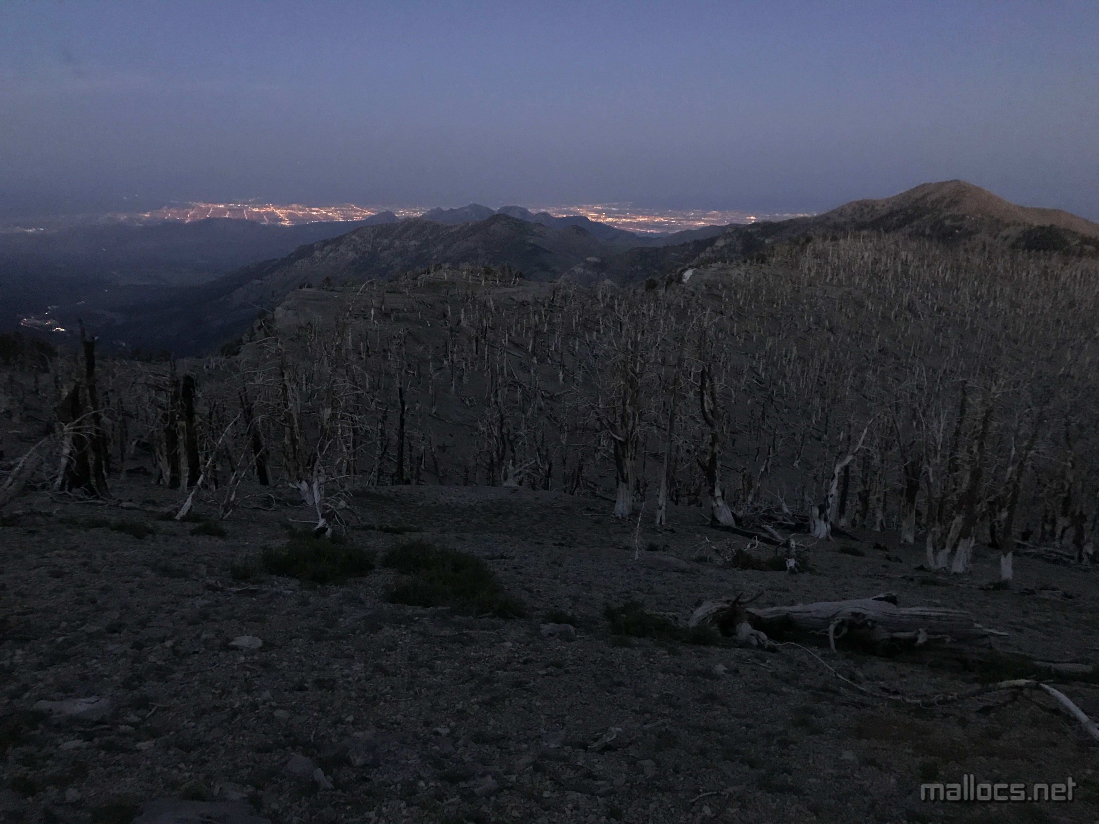
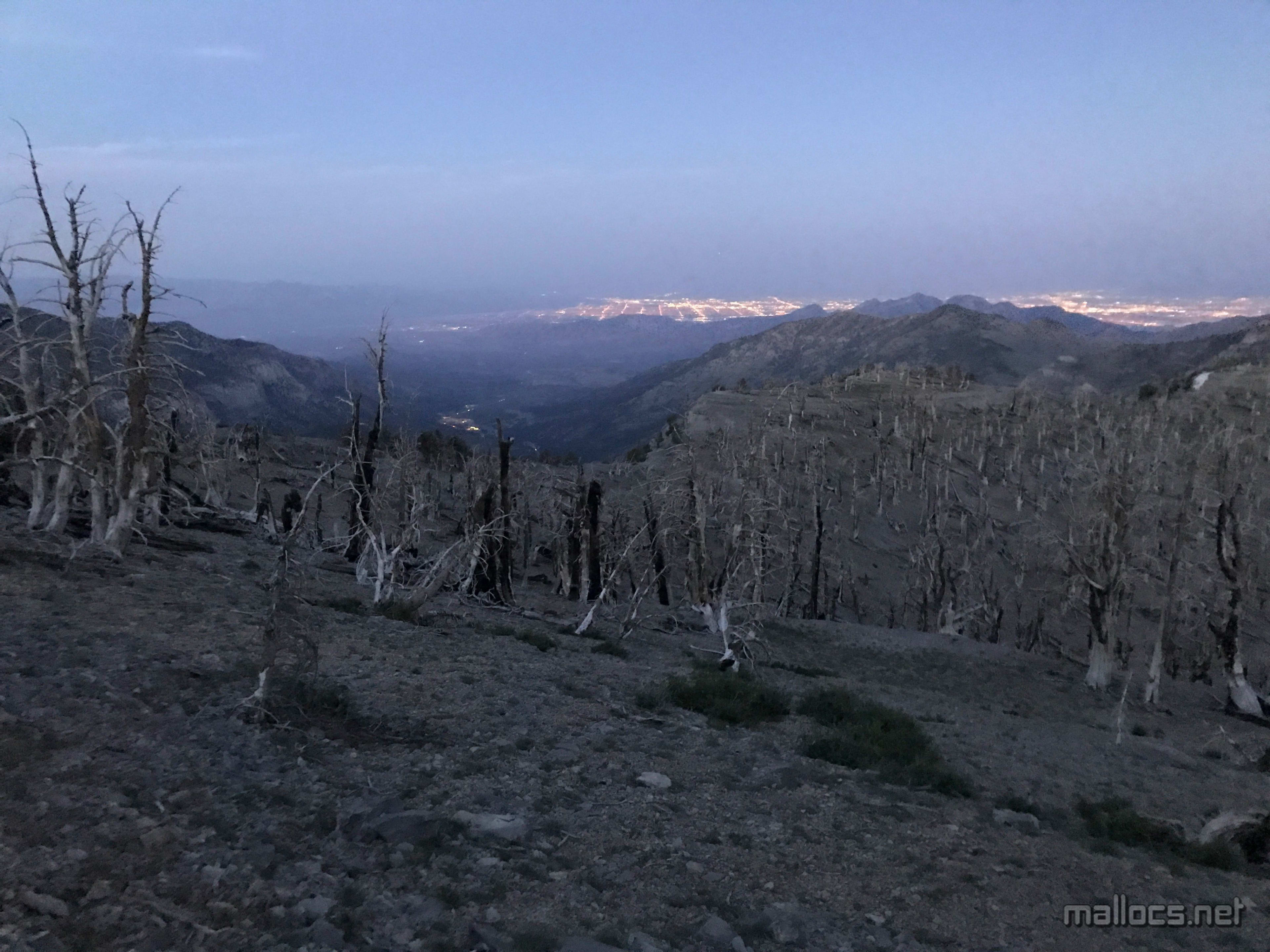
Shortly after leaving the peak, the sun had completely disappeared as I started through the burned forest along the ridge of the South Loop. Much like the city below, the hike can be spectacular in places and blighted in places, often at same time.
Mt Charleston: The whole loop
Mt Charleston: The whole loop
 Marcus Ulrich
I've developed a tradition of hiking Mt Charleston on one of the hottest days every year. I try go for a run every other day or so, but when the temperatures start refusing to go below 90F even in the middle of the night, I start taking long streaks of days off. To make up for it, I head for Charleston, figuring a 6 hour hike can make up for the slacking.
The first couple of times I tried to hike Charleston when the temperature in Vegas was over 110F I turned around because of the cold. Roasting down in the Vegas valley, it's hard to imagine needing any sort of jacket, but the unrelenting wind near the summit combines with temperatures that can be in the 50's or 60's to make a jacket mandatory. This time I had two light jackets packed as I started out around 3pm in sweltering 85F heat, although I ended up only briefly wearing the lighter one as this time the air near the summit was surprisingly still and warm.
Summit Post suggests people doing the loop usually go up the South Loop and down the North Loop and Trail Canyon. I wanted to do the opposite since I thought the sun angles would be more photogenic and I prefer going up the (slightly) more gradual grade of Trail Canyon. Summit Post also suggests starting out "very early", but not being a morning person, I ignored that advice as well.
Doing the whole loop also requires going from South Loop trailhead to the Trail Canyon trailhead or vice versa. I wanted to get that out of the way early rather than leave it to the end, so I parked at the South Loop trailhead but followed a different trail that seemed to head towards the Trail Canyon trailhead. It quickly turned the wrong direction, but a short bit of cross country hiking got me to the Trail Canyon trailhead parking lot.
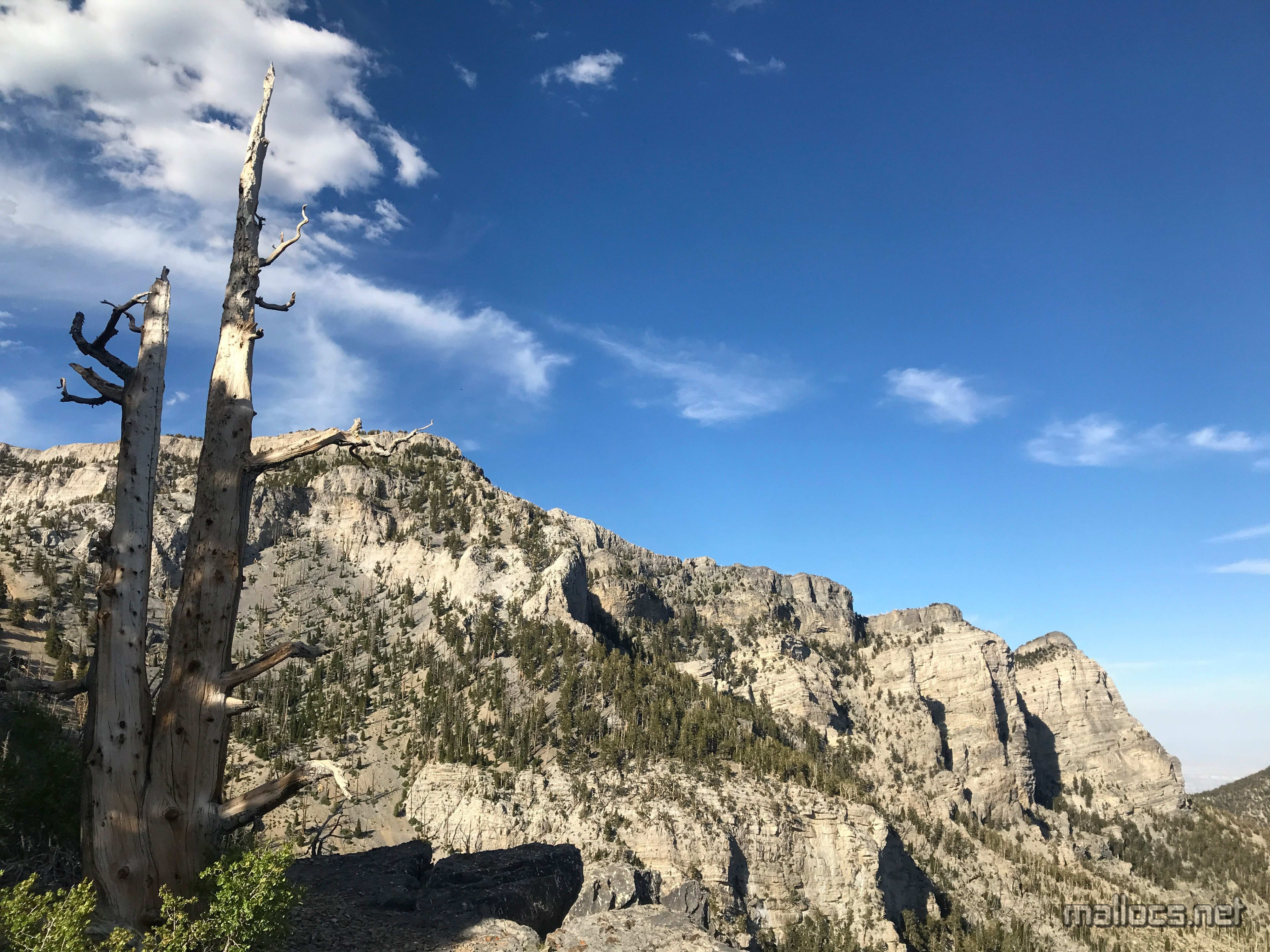
To be honest, Mt Charleston is one of my least favorite Vegas area hikes. The view from the summit is largely blocked by its long, high ridges and nearby mountains yet it's high enough to usually be bitterly cold and super windy. Still, it's a fun challenge and the long stretches of trail along the ridges have great views of Charleston itself.
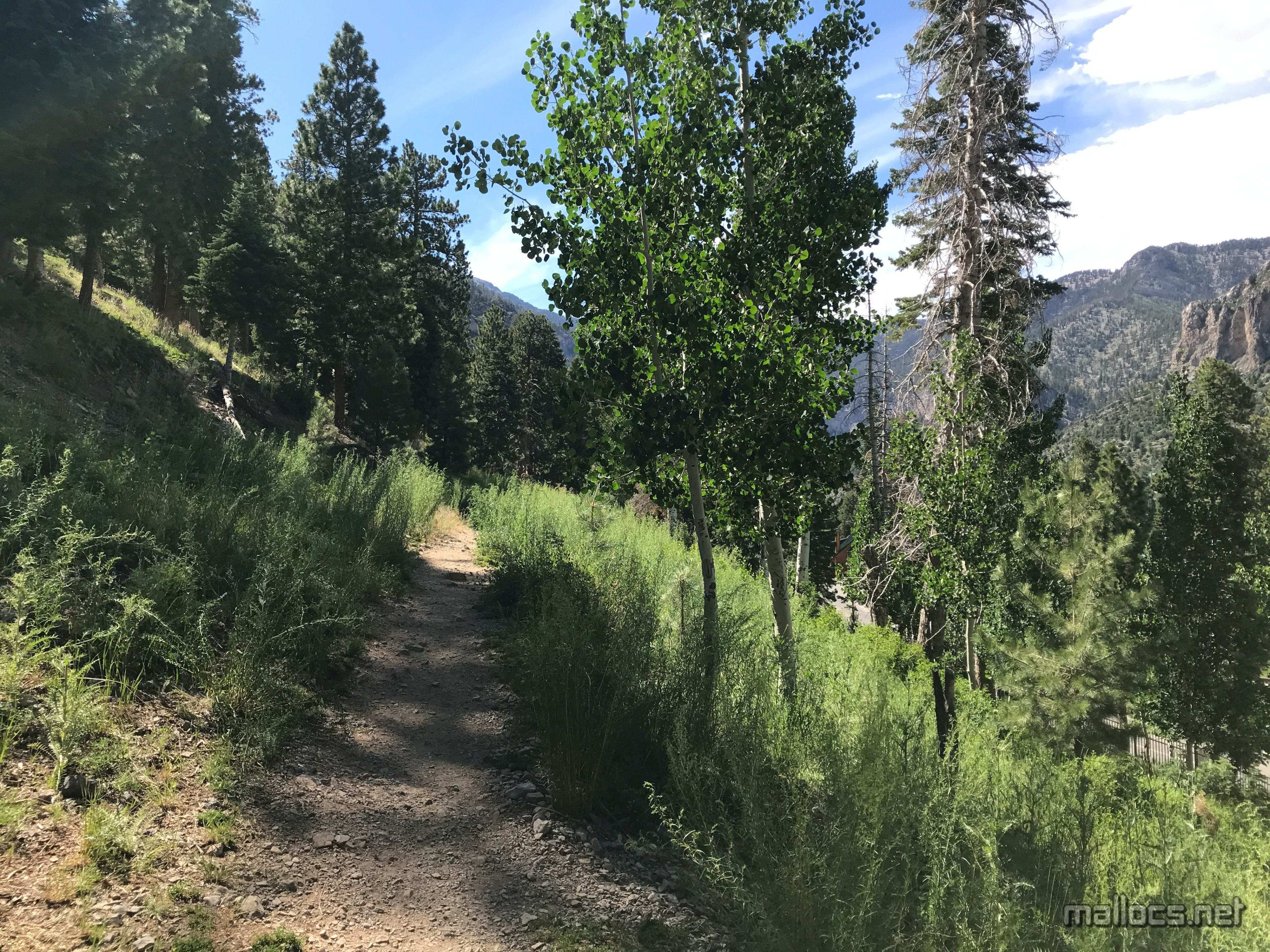
I left the South Loop trailhead and took this trail a short distance before heading cross country to get to Trail Canyon trailhead.
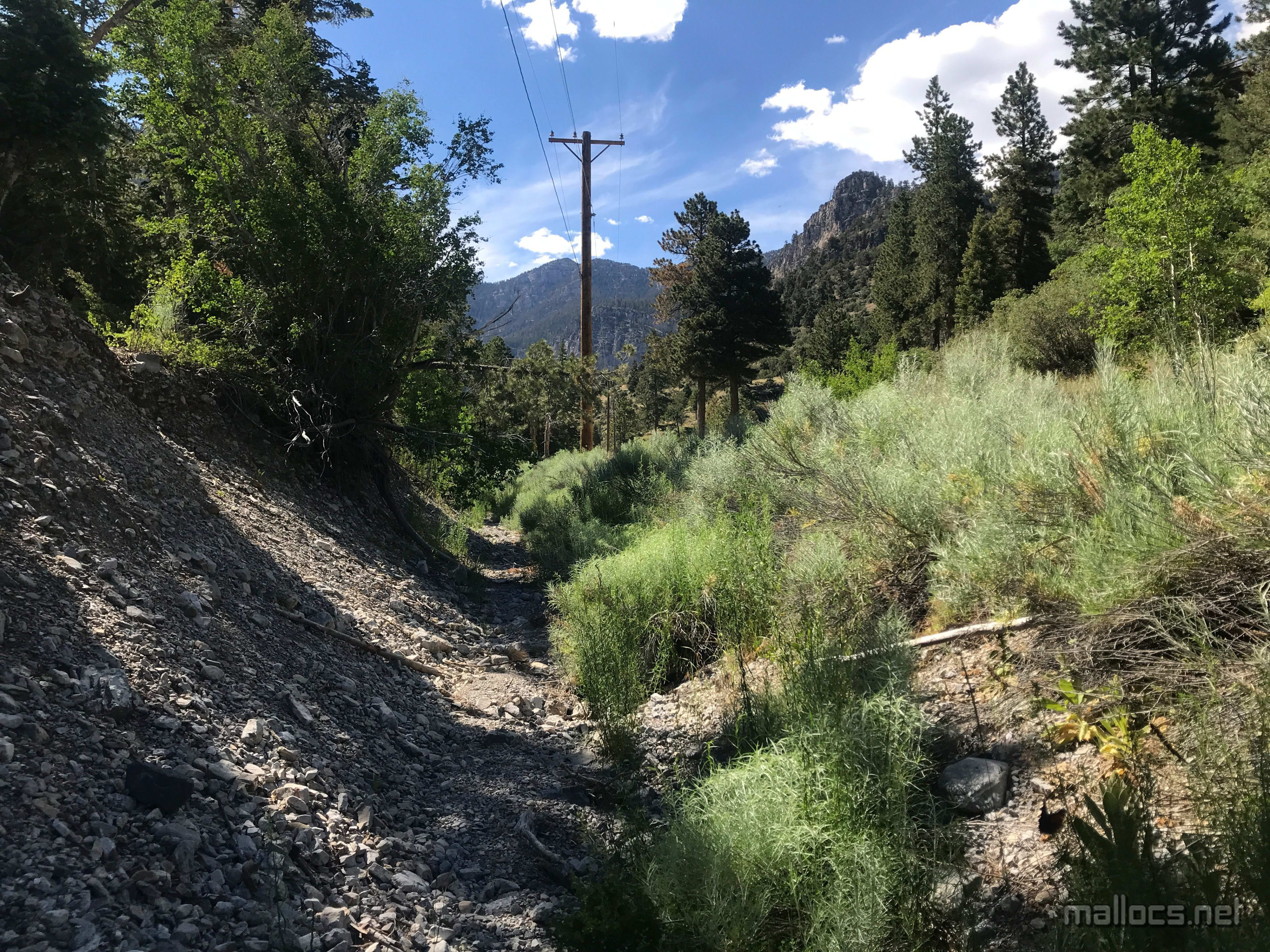
A ditch next to the road, but still nicer than hiking on the road.
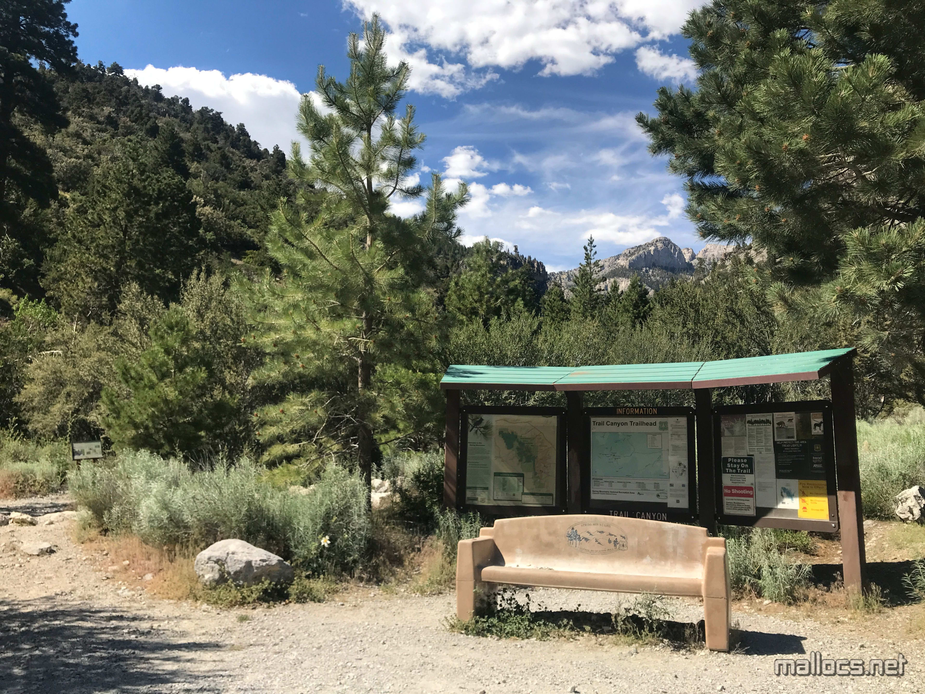
Done with crossing between the trailheads.
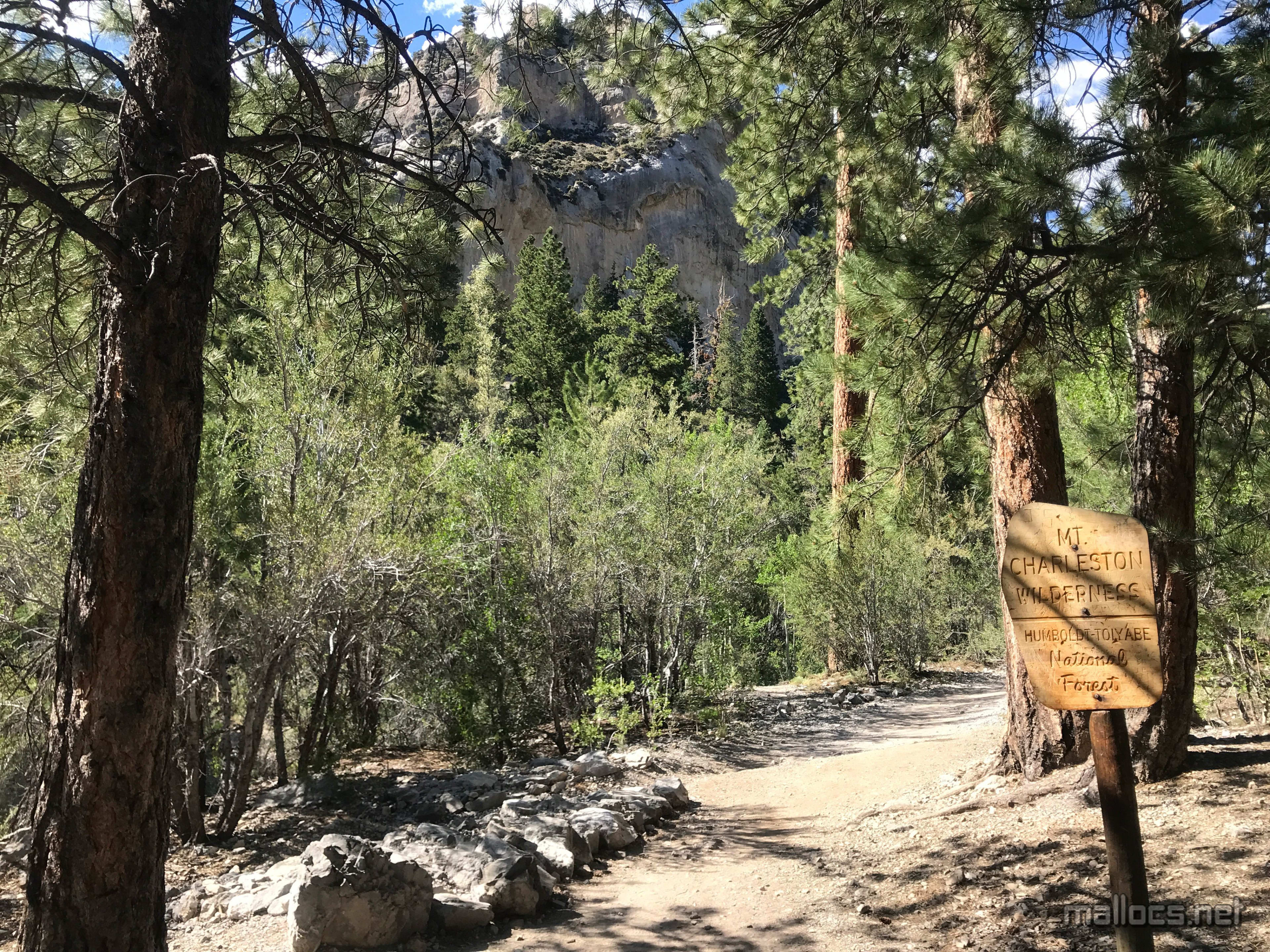
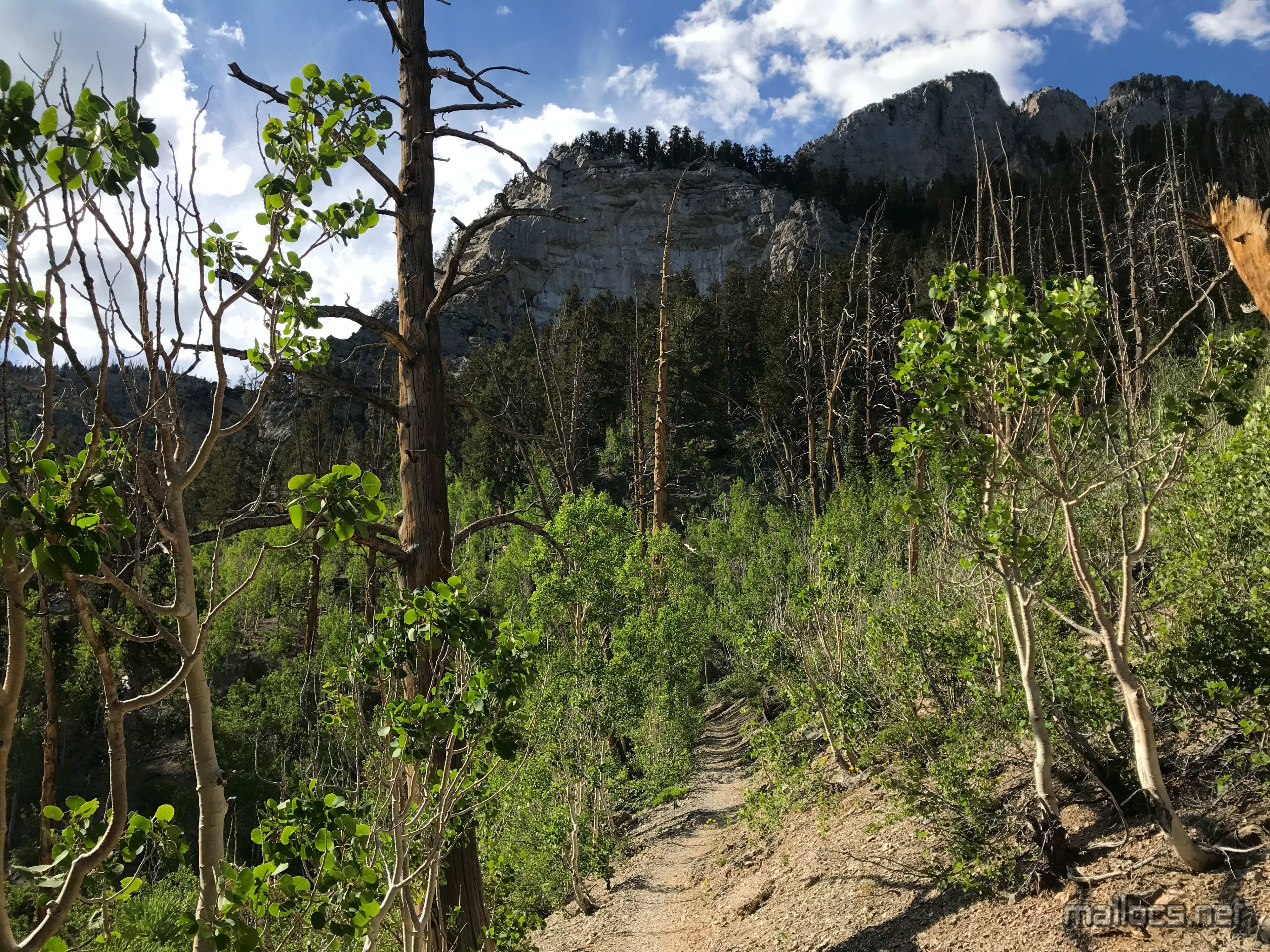
Into the wilderness
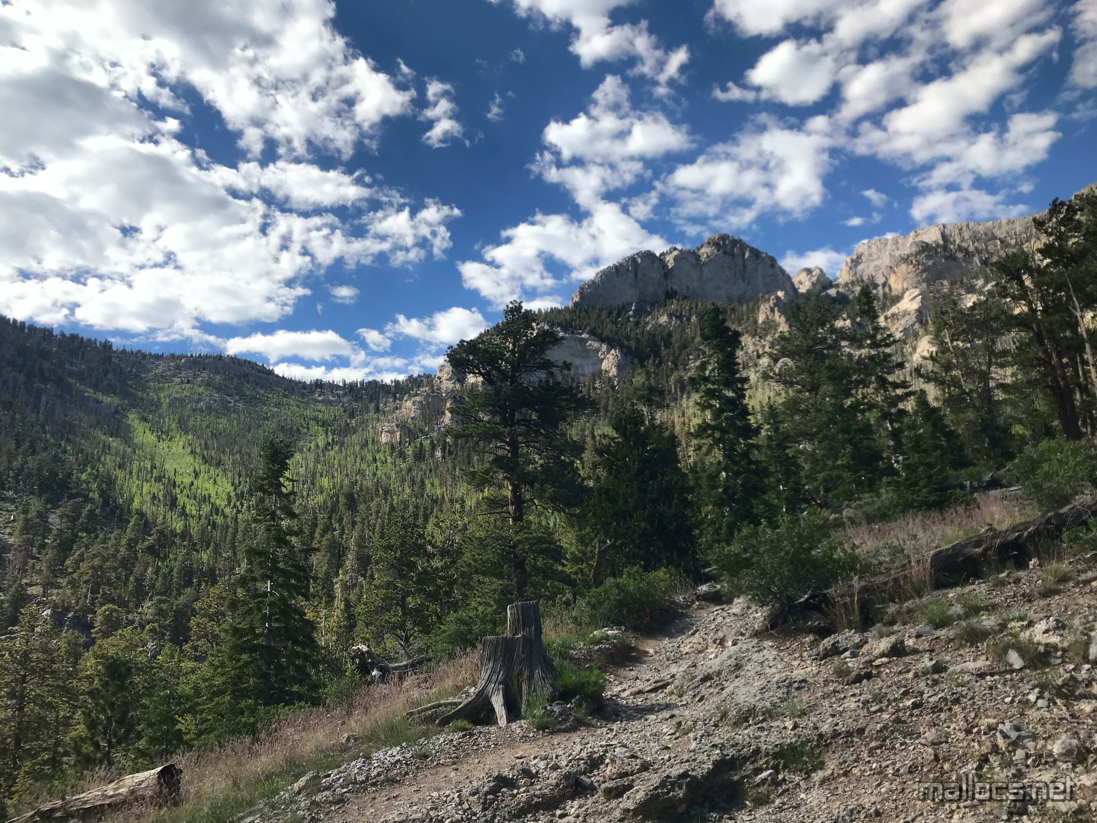
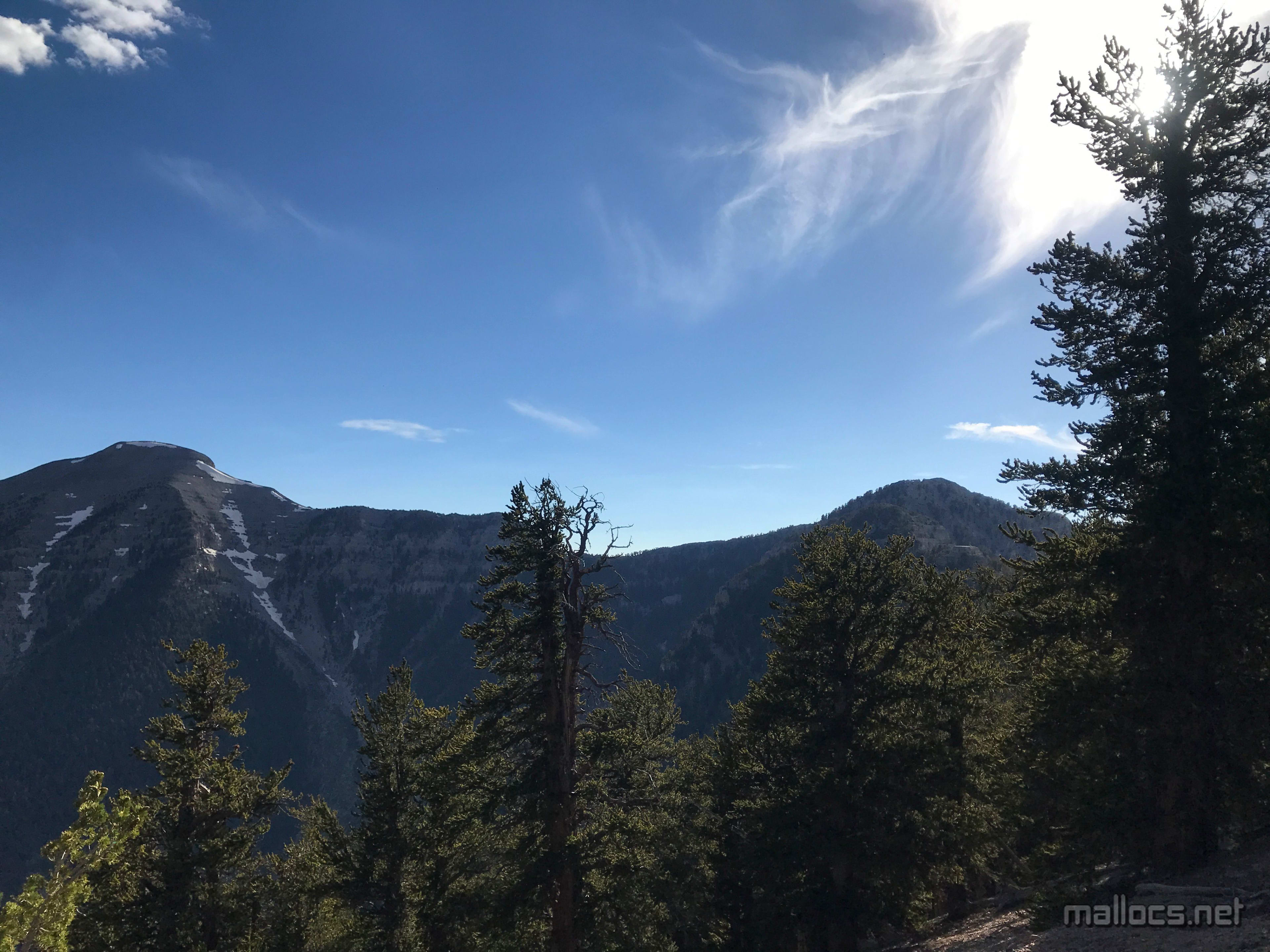
Mt Charleston is up there somewhere.
This is the junction of Trail Canyon and North Loop. Wonder what that sign says?
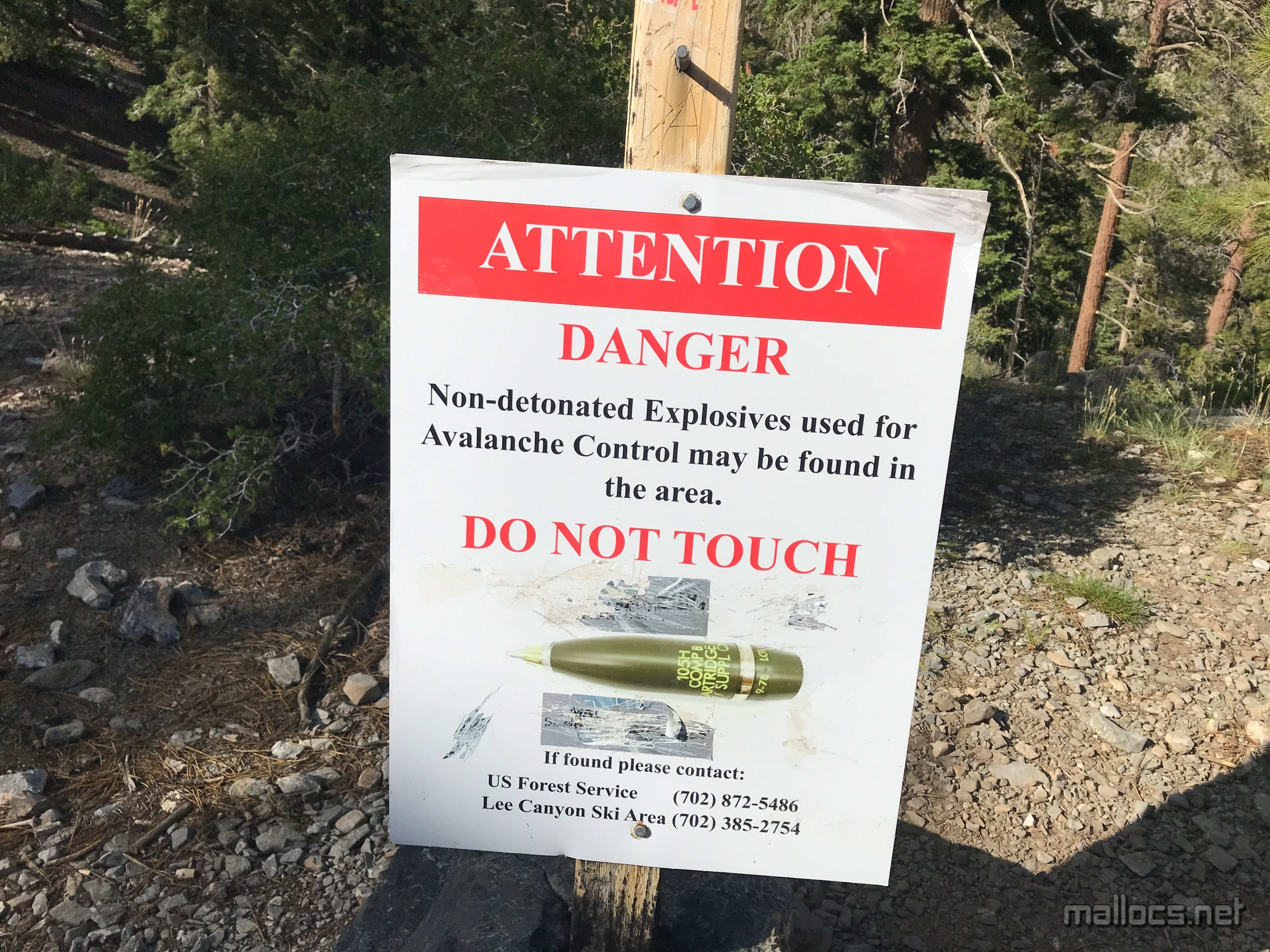
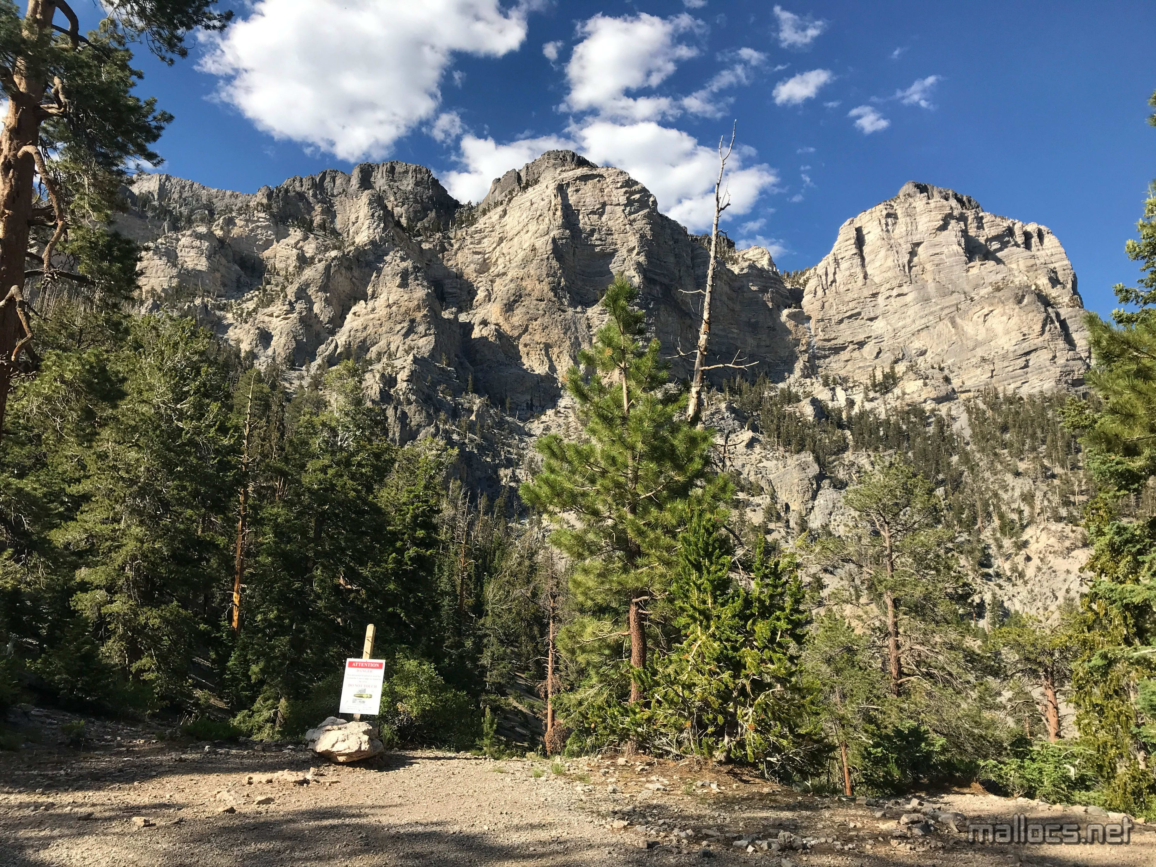
They're firing artillery at the mountain to do avalanche control? Hopefully just a poor choice of stock image.
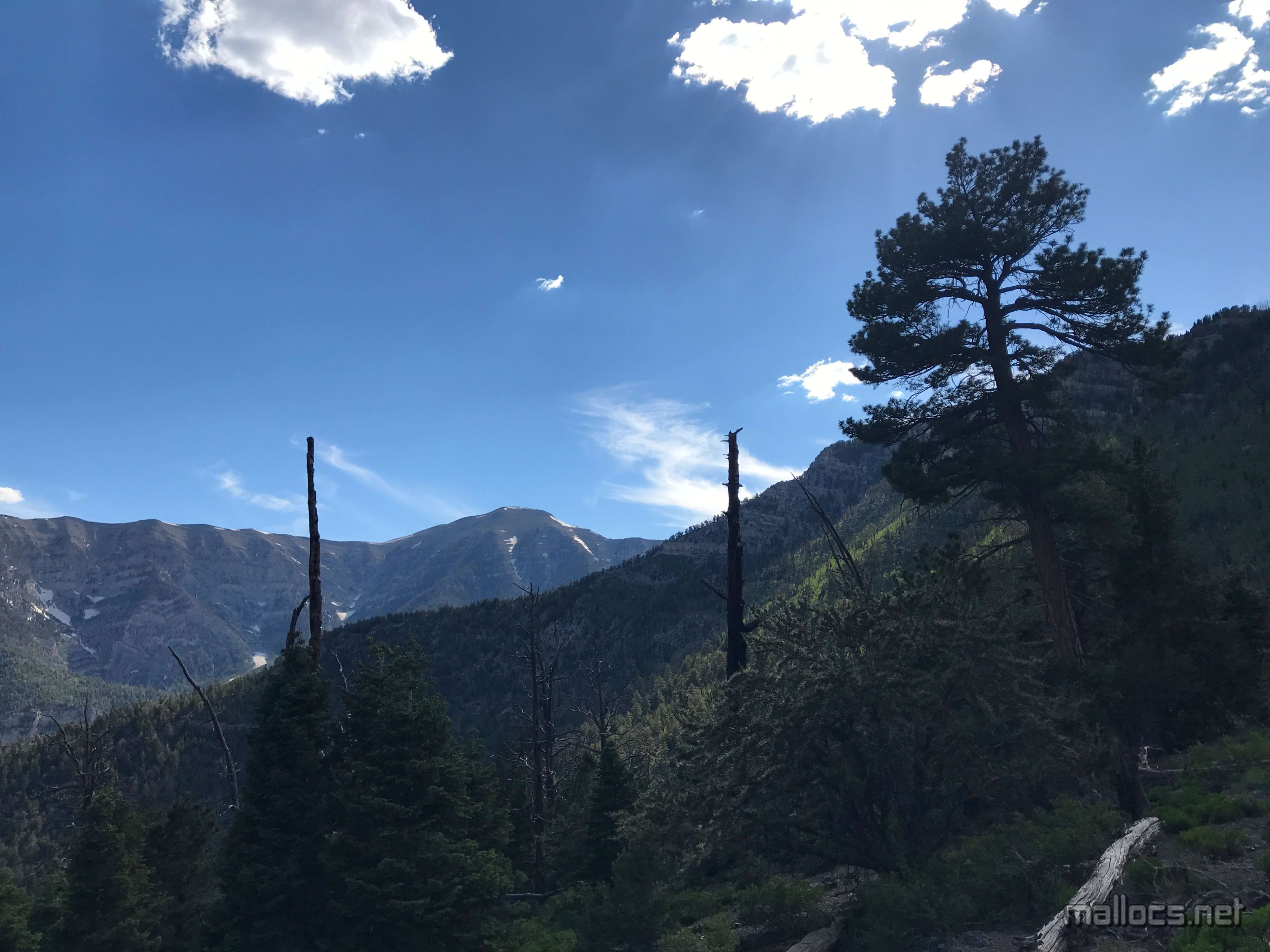
Oh look, a Mt Charleston
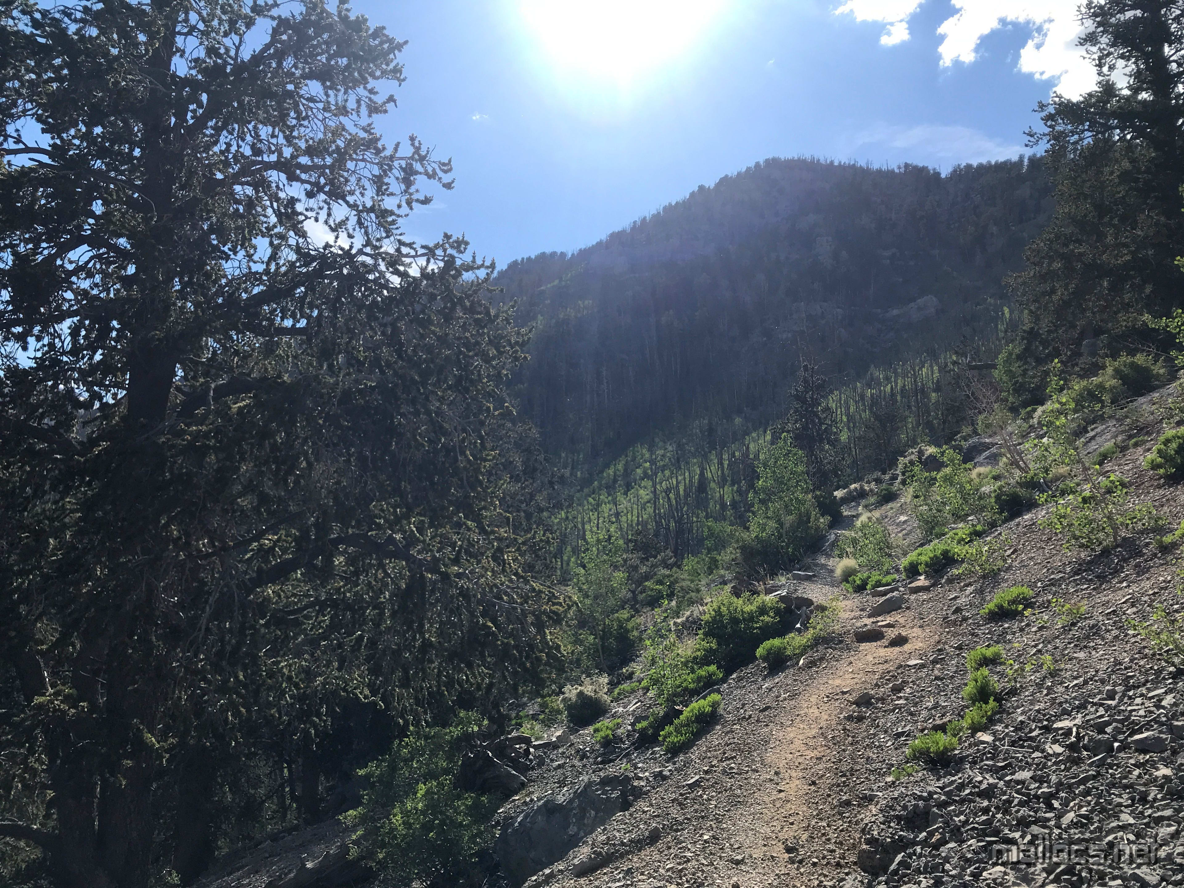
Just have to go around this ridge and it's not too much further, right?
Sweltering, but the sun would be behind the ridges soon enough.
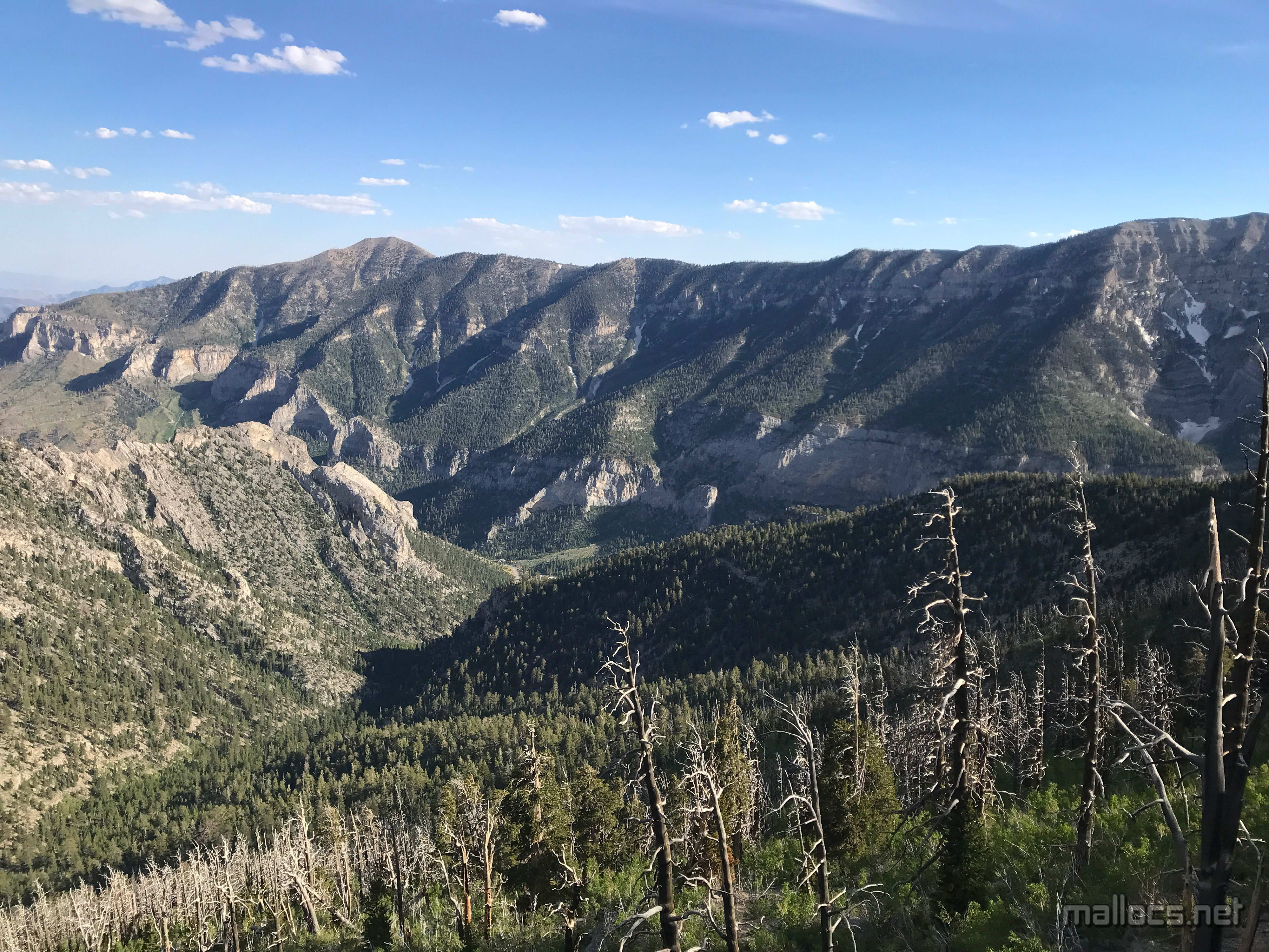
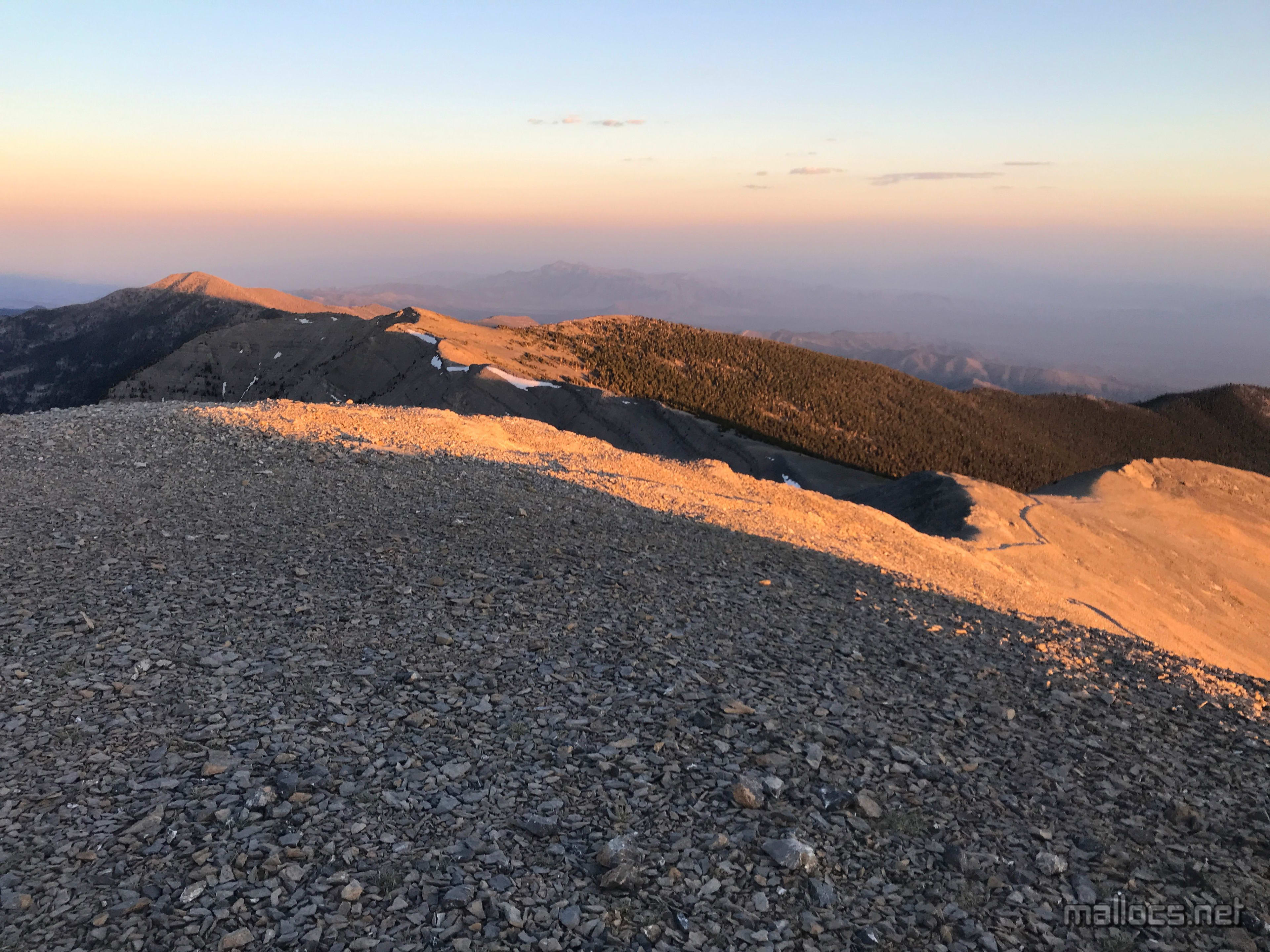
Looking at the ridge the South Loop trail runs along with Griffith Peak on the left end. The trail heads sharply down from the saddle on the right side of Griffith Peak.
Looking back at where I'd come from.
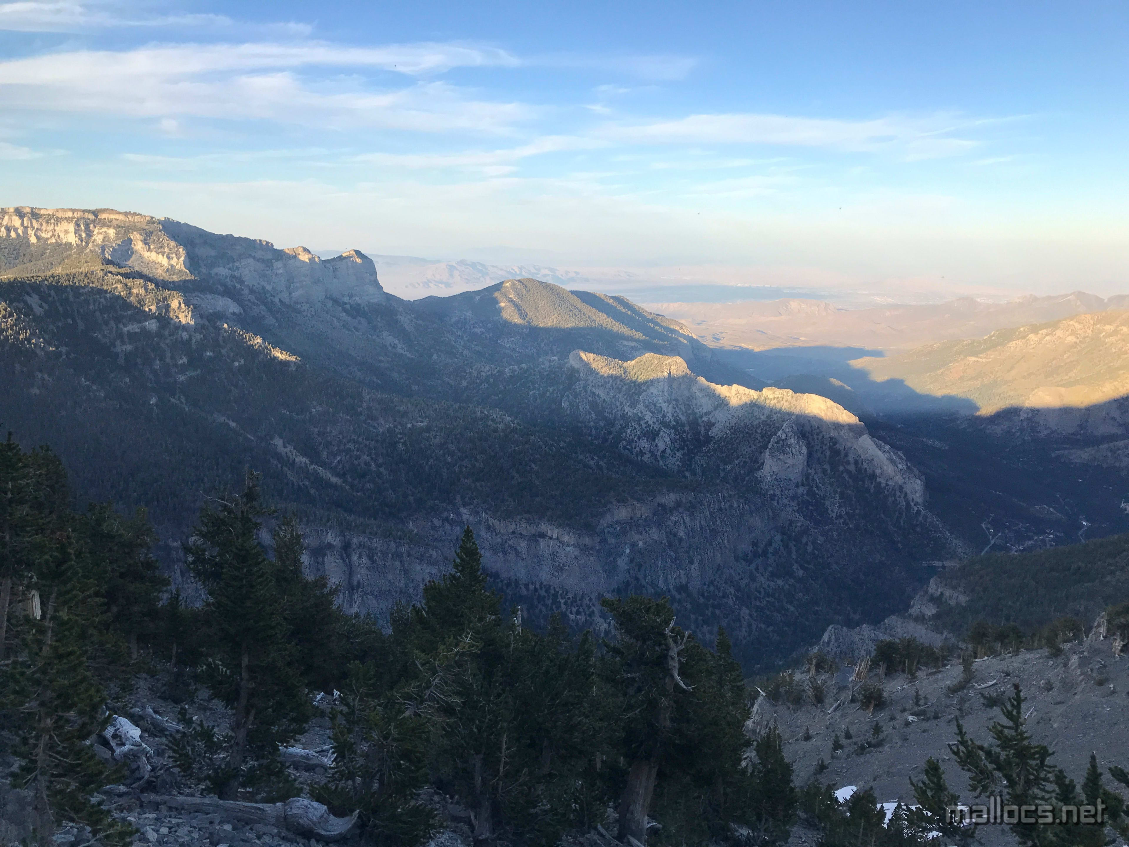
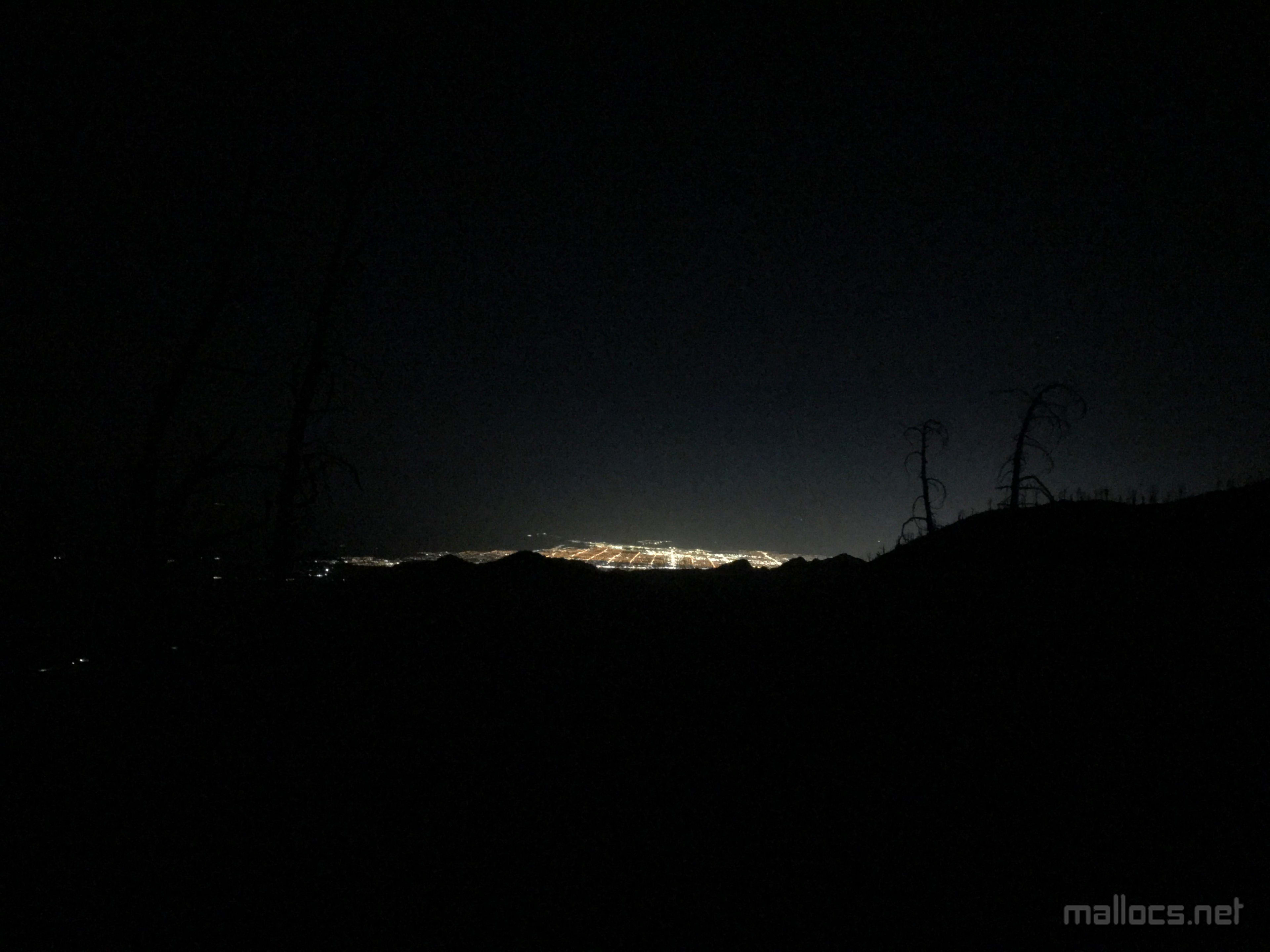
Mmm, clean Vegas air!
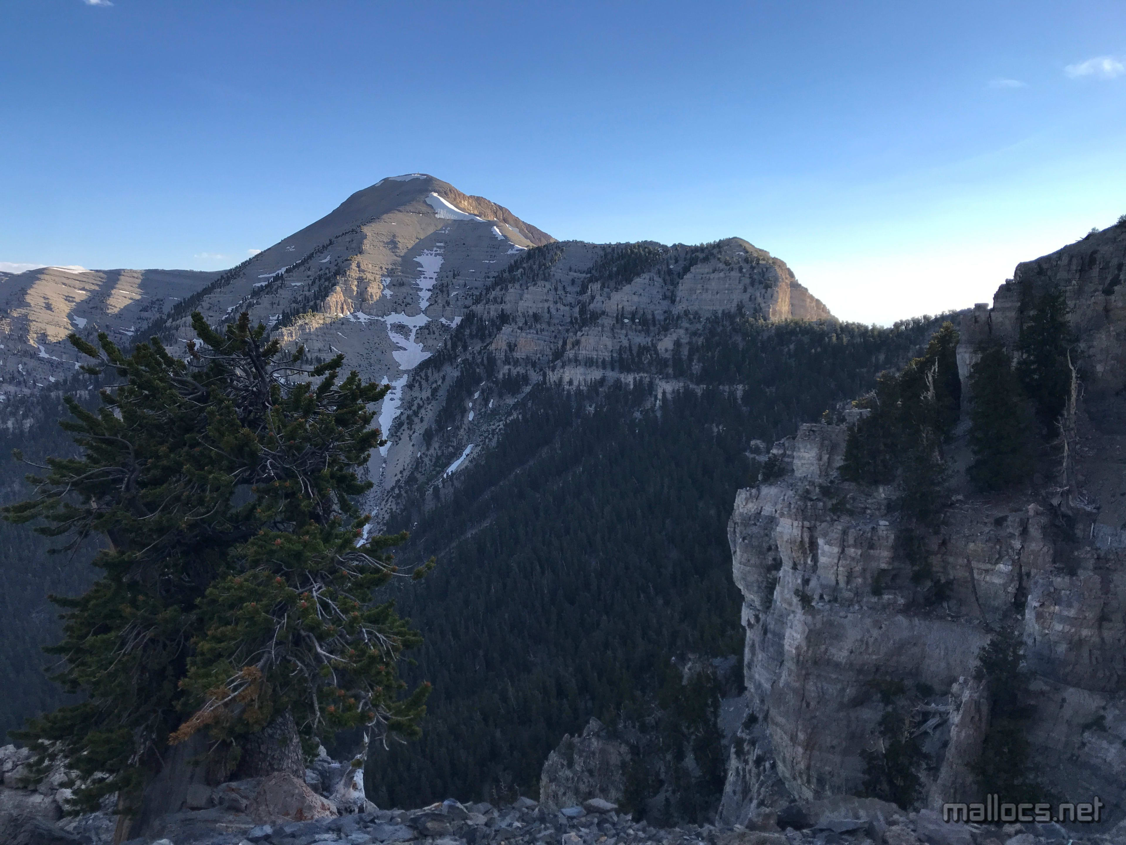
The ridge on the North Loop side of Mt Charleston. The trail runs a little below the ridge and crosses the snow filled gully where there's the most snow.
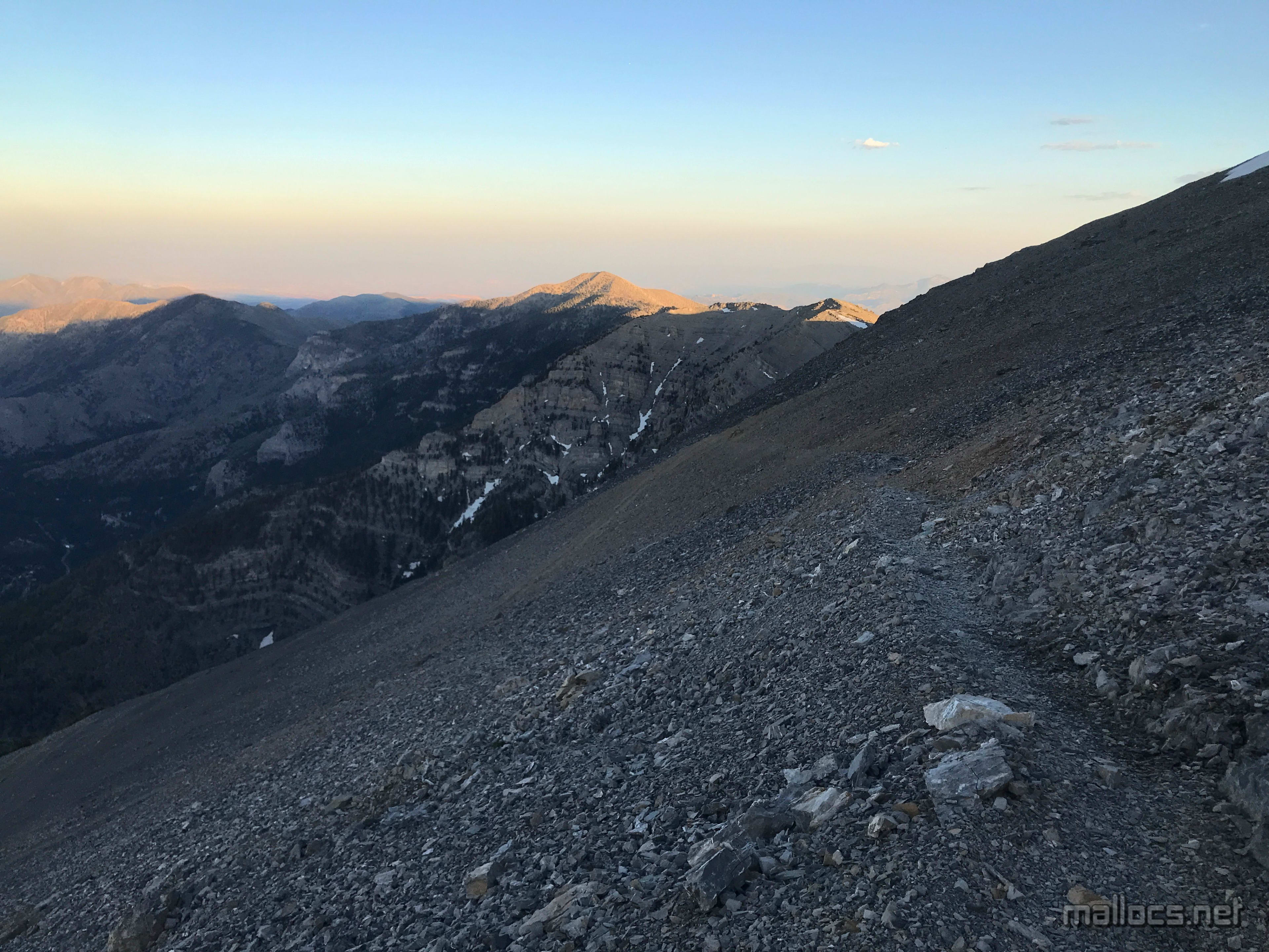
Every bend seems like the last, but there's still a long ways to go.
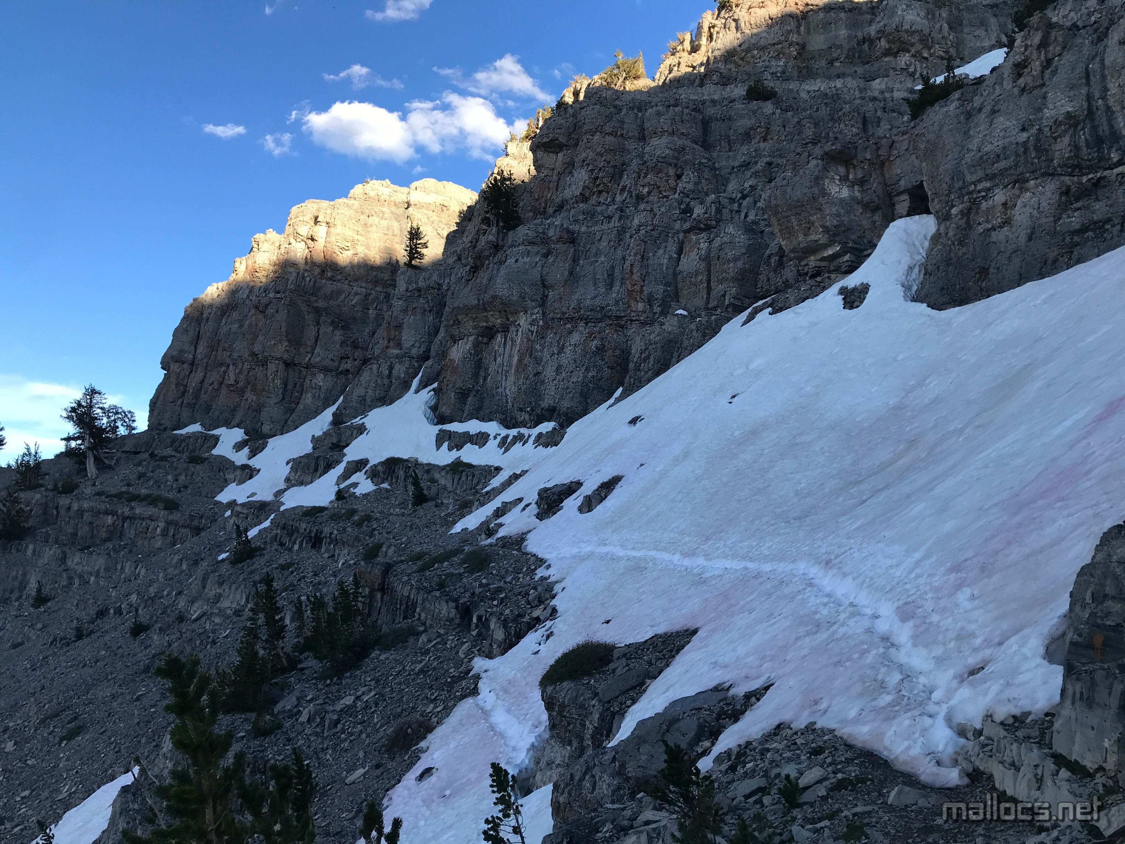
Not a lot of snow, but still a no fall zone. I waited a bit to catch my breath before crossing. Fortunately, the snow was pretty soft since it was late in a hot day.
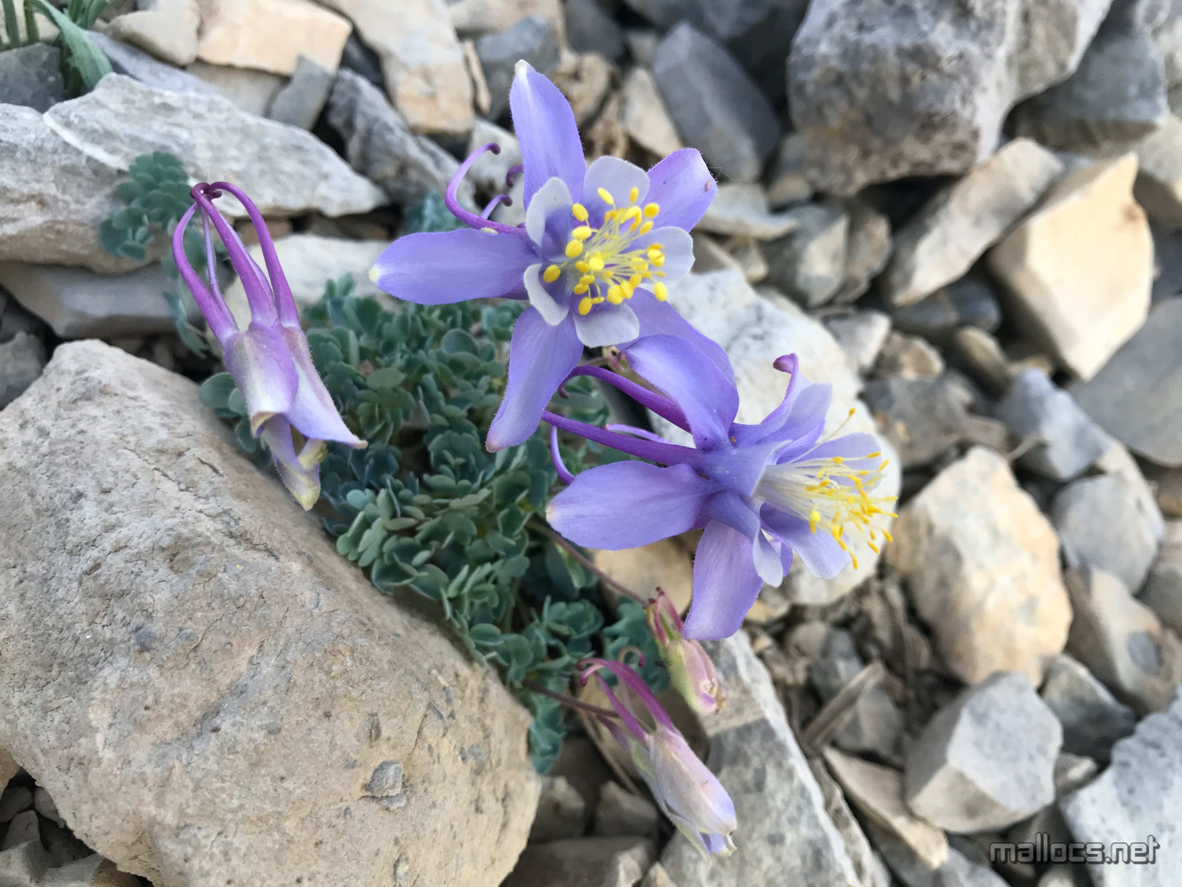
A couple of hardy flowers still blooming.
Looking back along the ridge I'd been hiking.
The final switchbacks to the summit with Griffith Peak in the distance. For whatever reason, there's usually a bunch of ravens croaking and hopping around the snow and rocks up here.
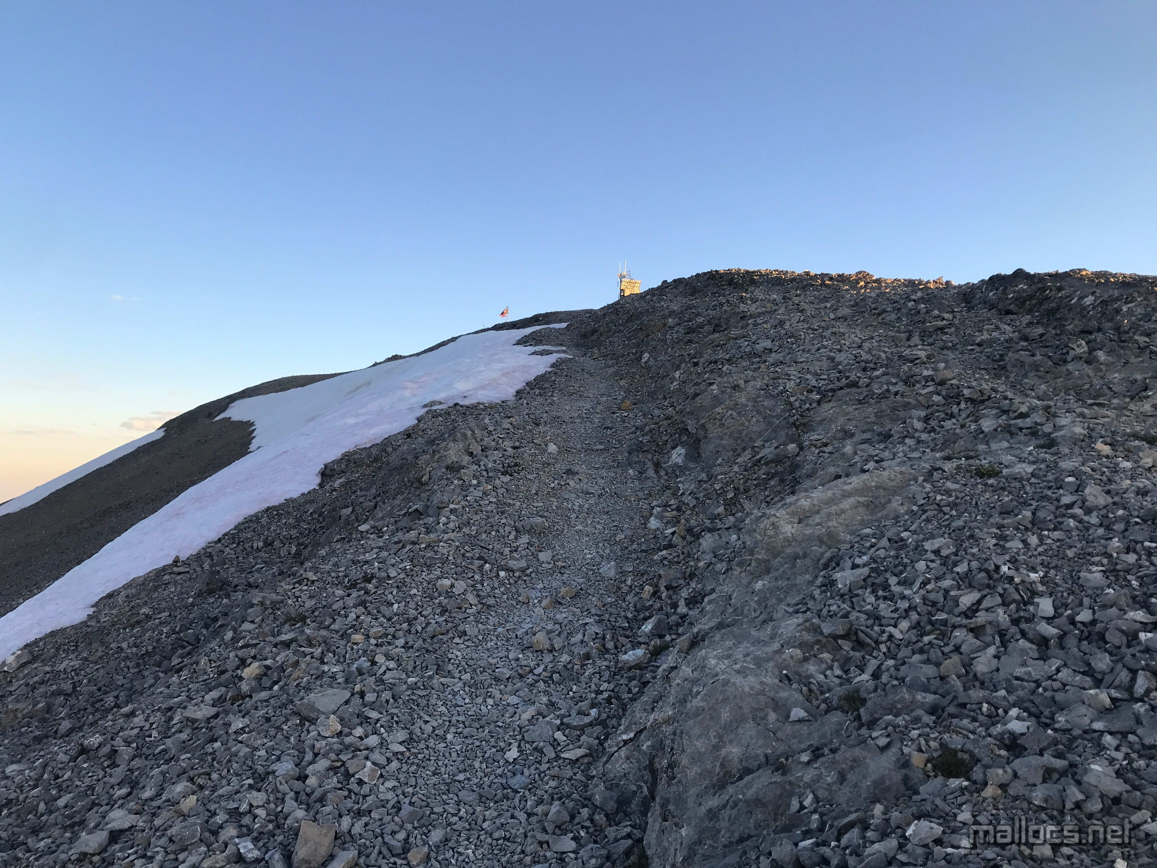
Almost there...
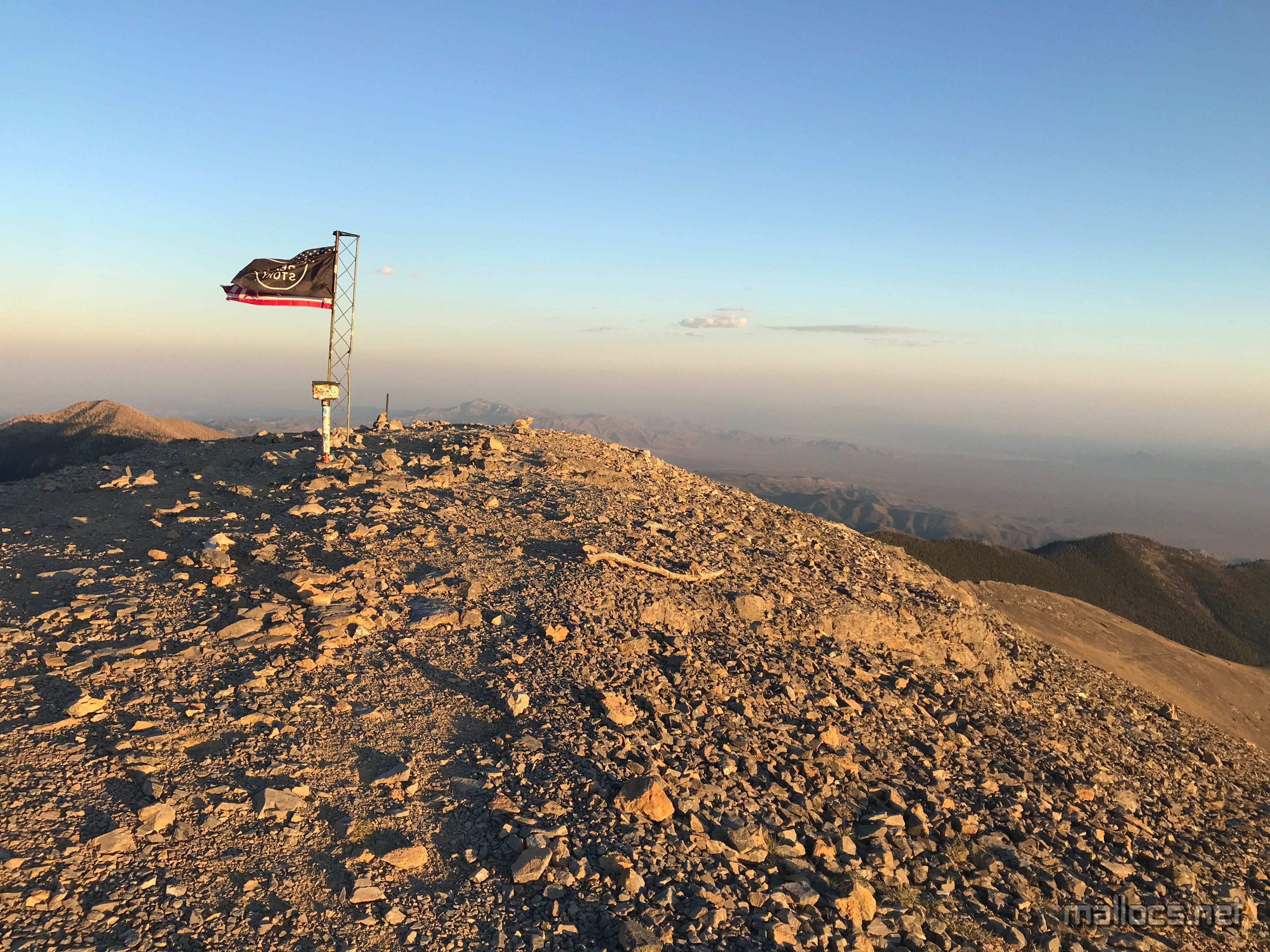
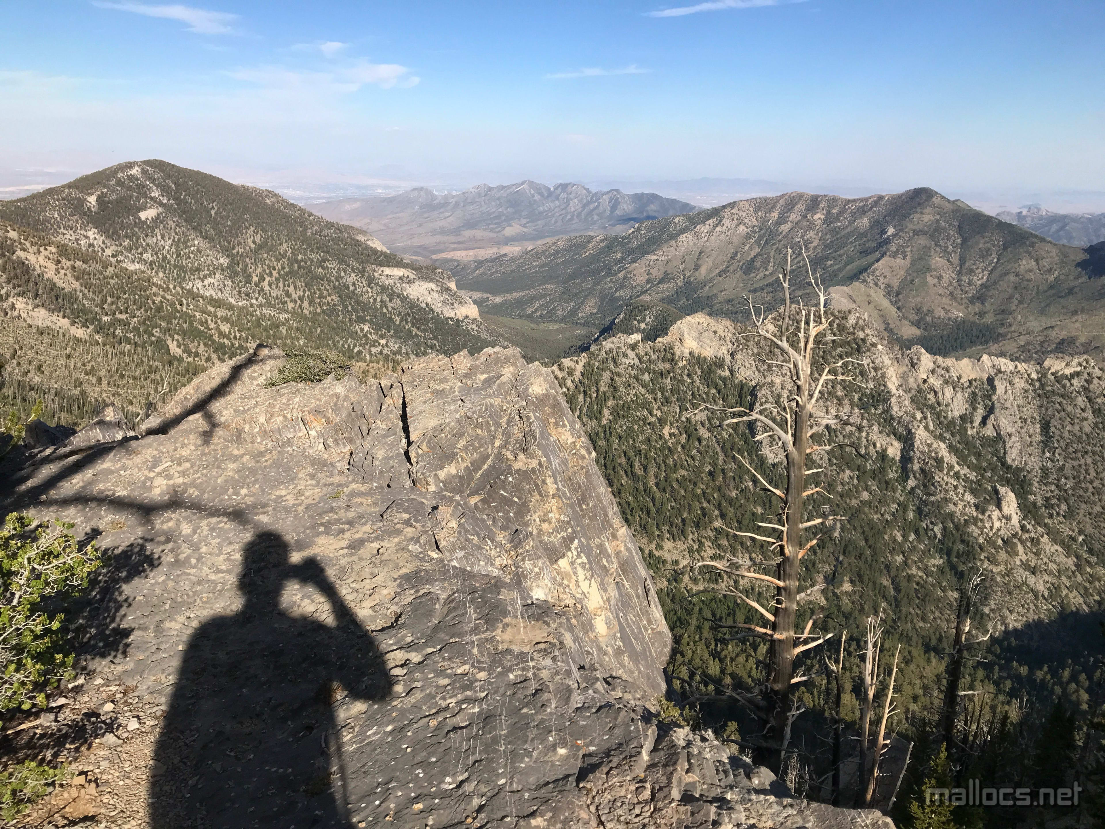
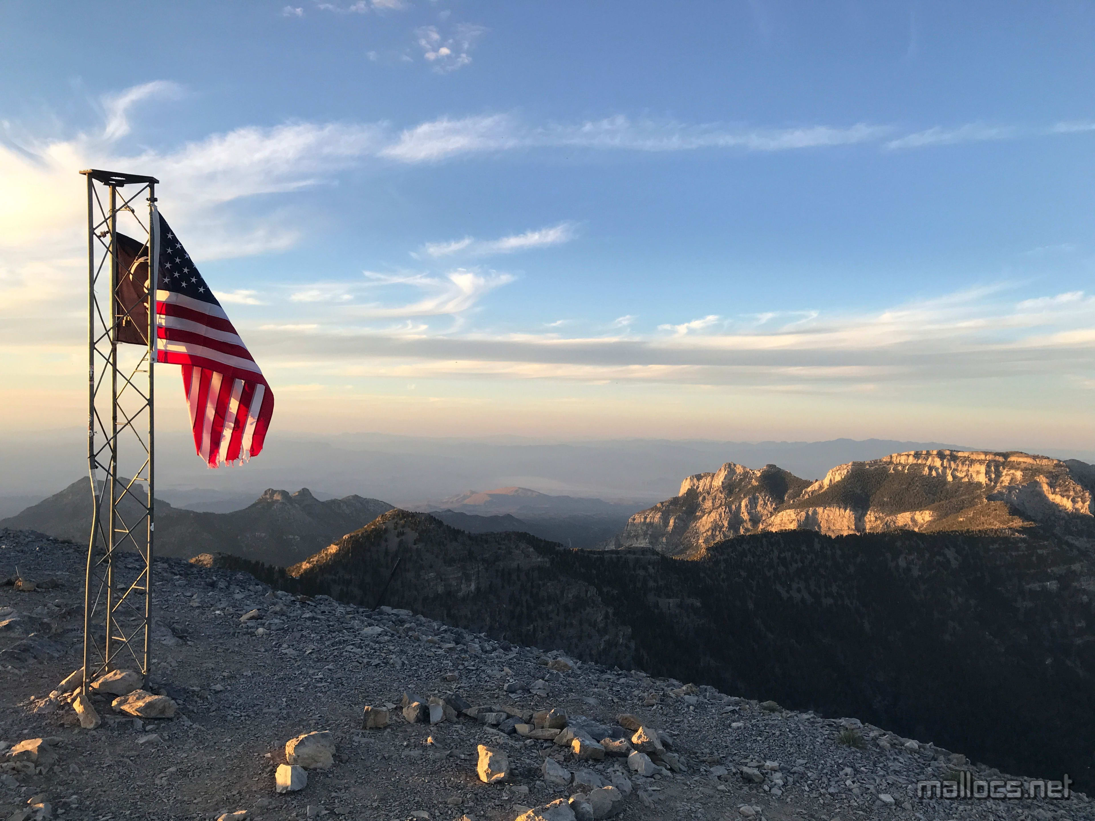
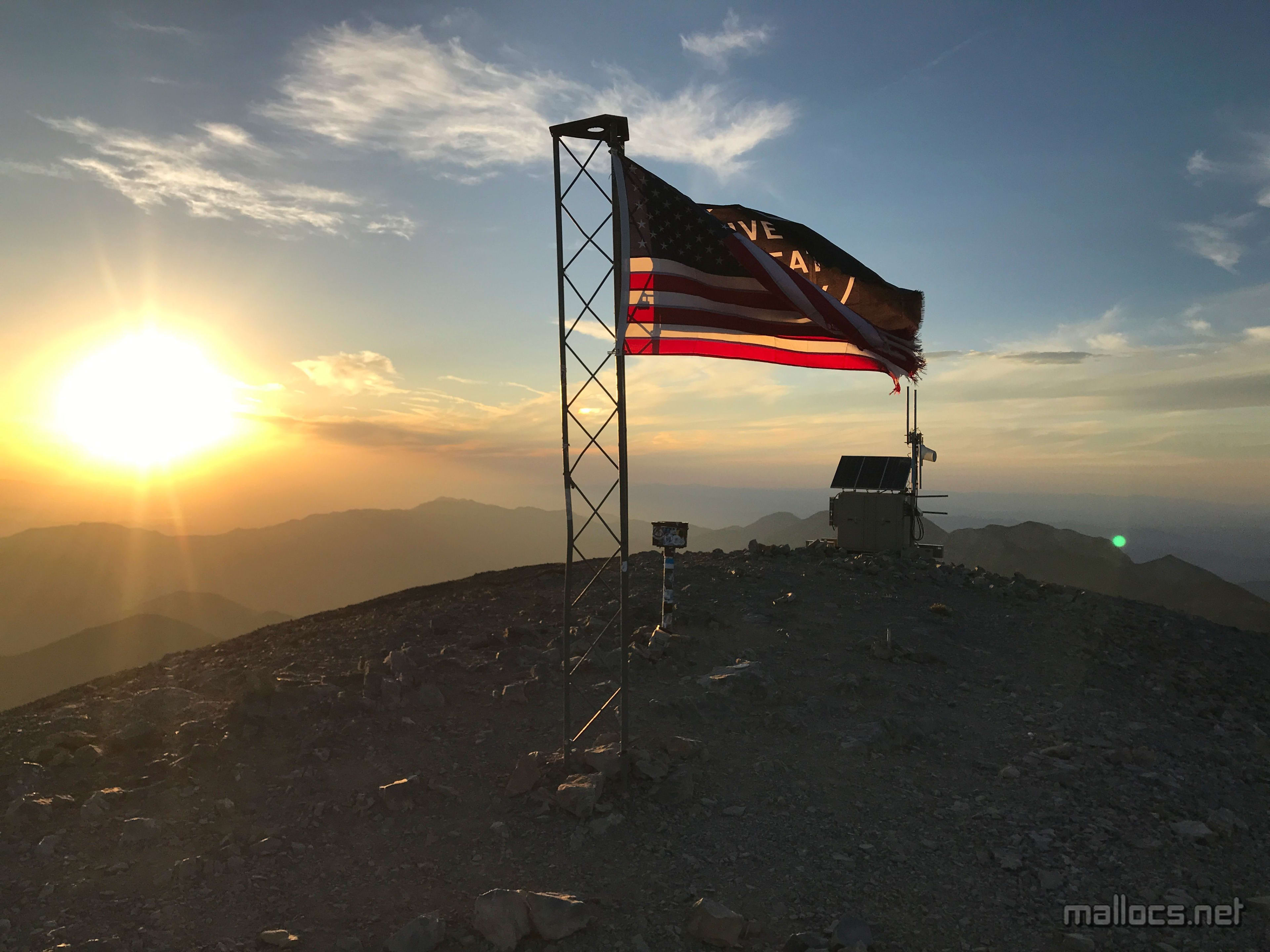
The top! Looking south towards ... umm, a lot of desert.
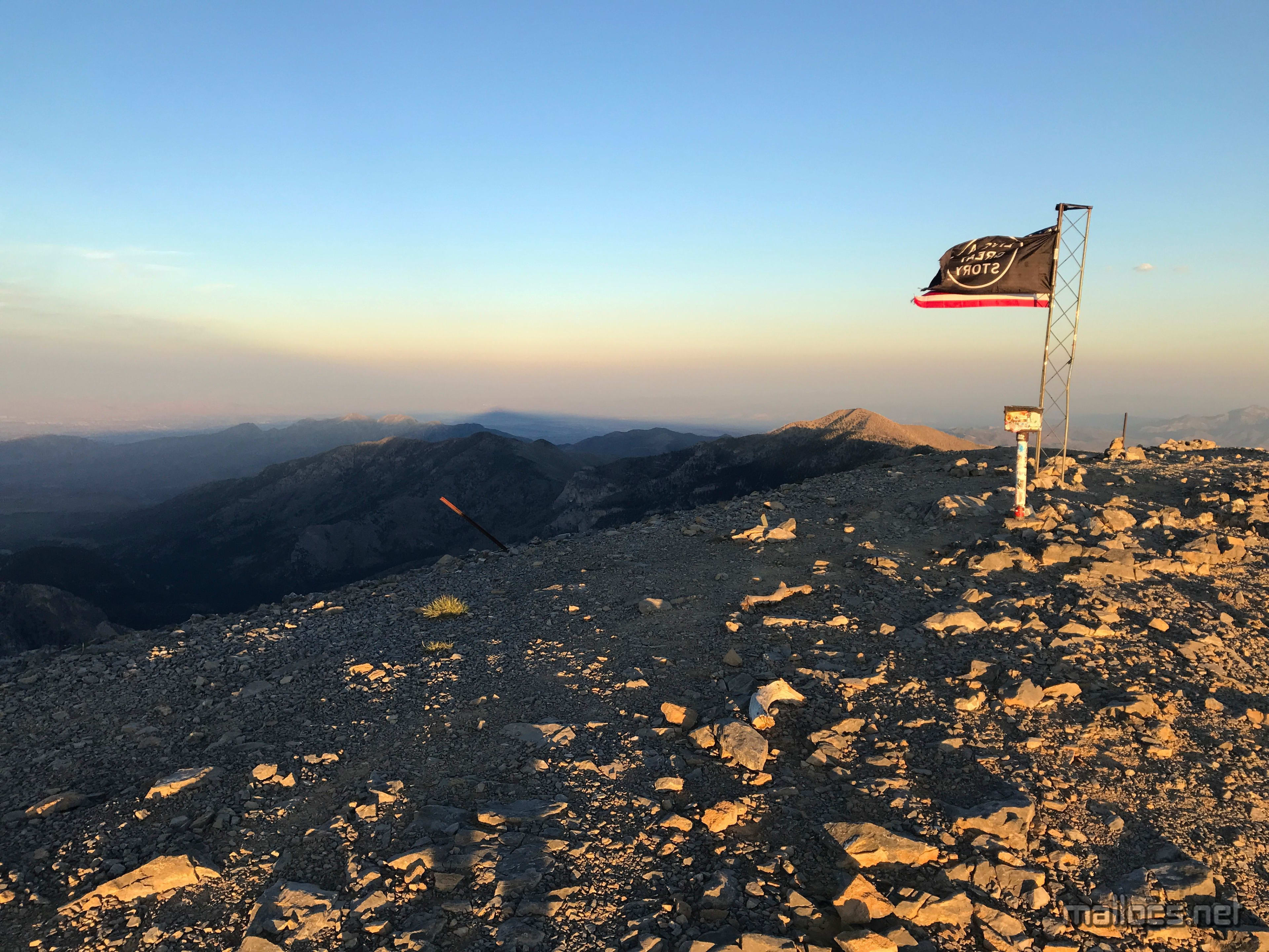
Summit shadow over Vegas.
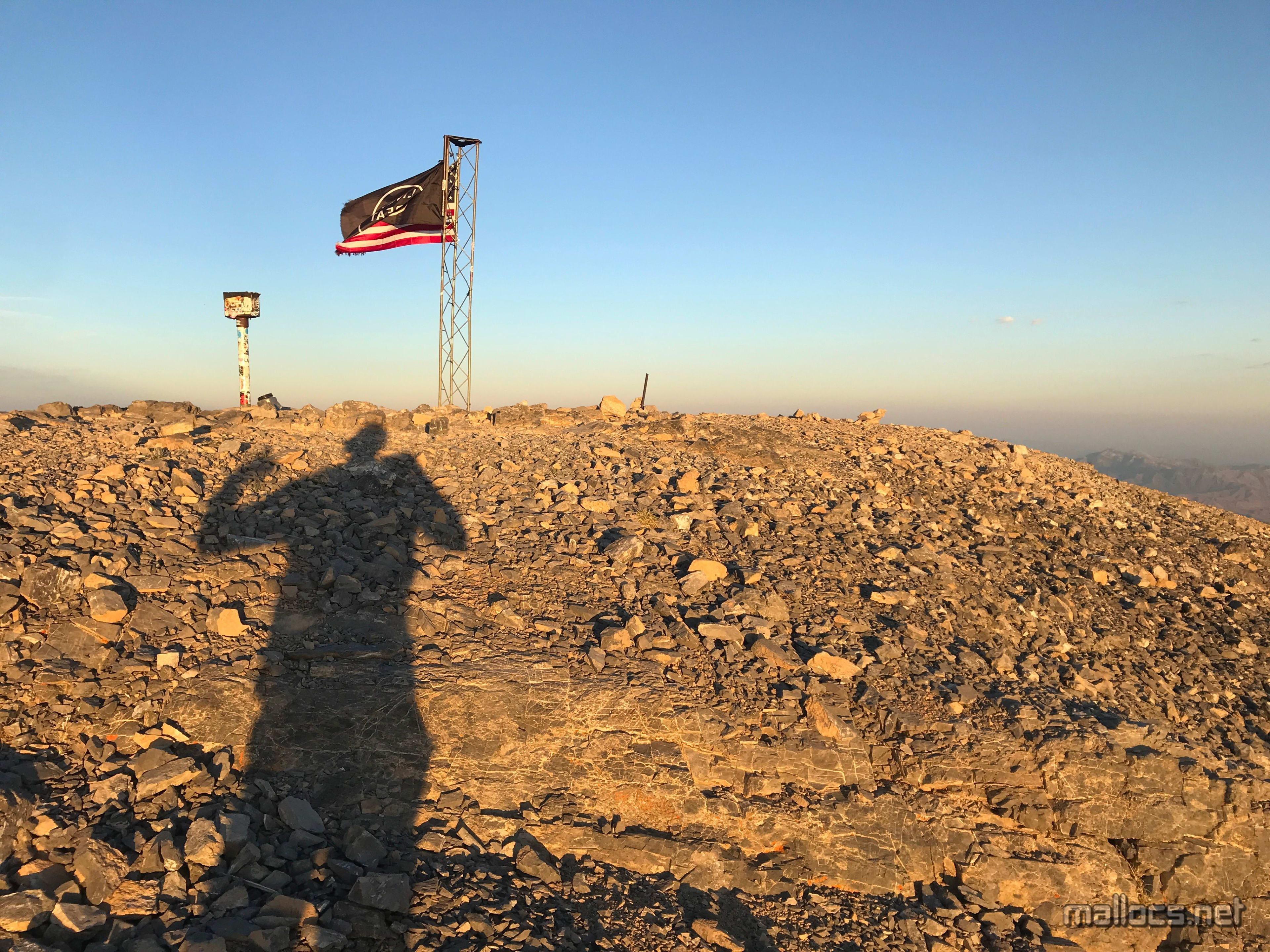
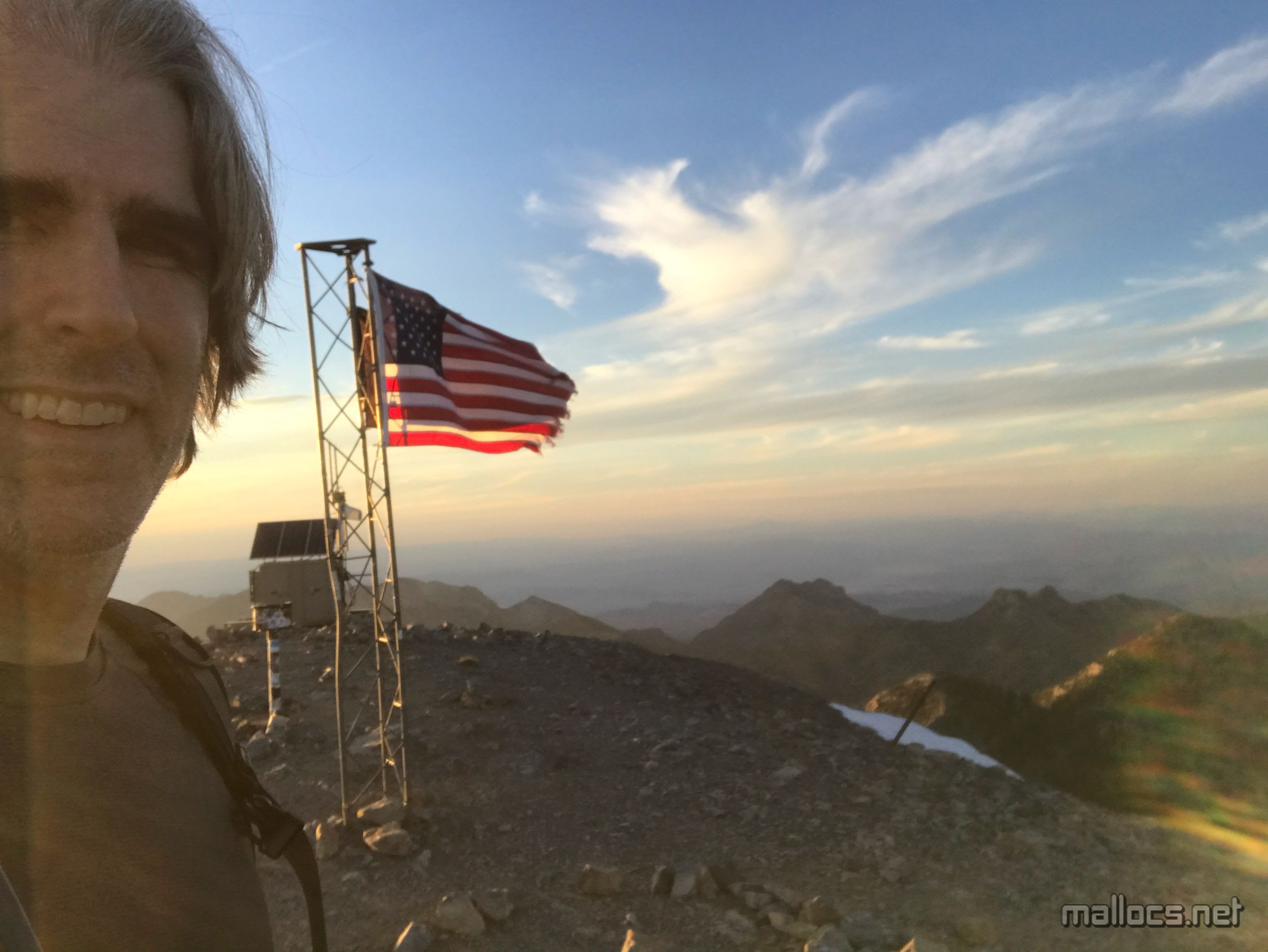
My head shrunk
Looking north towards where they keep the aliens.
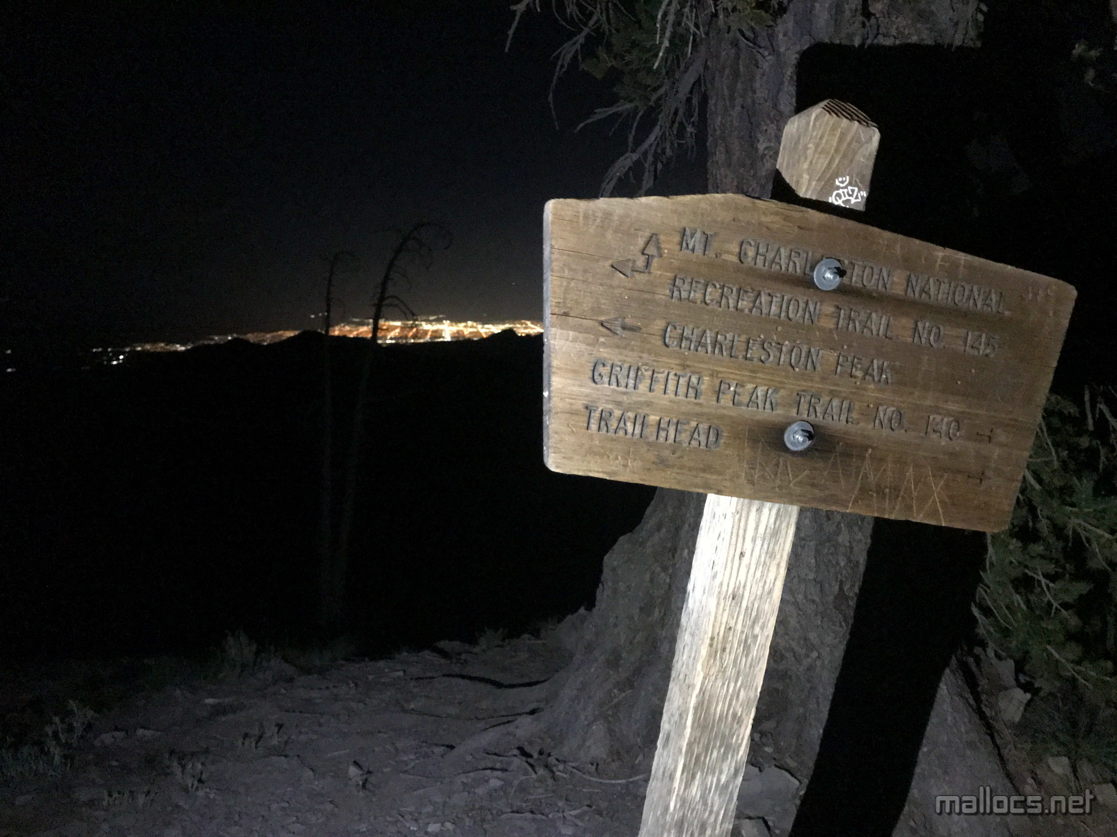
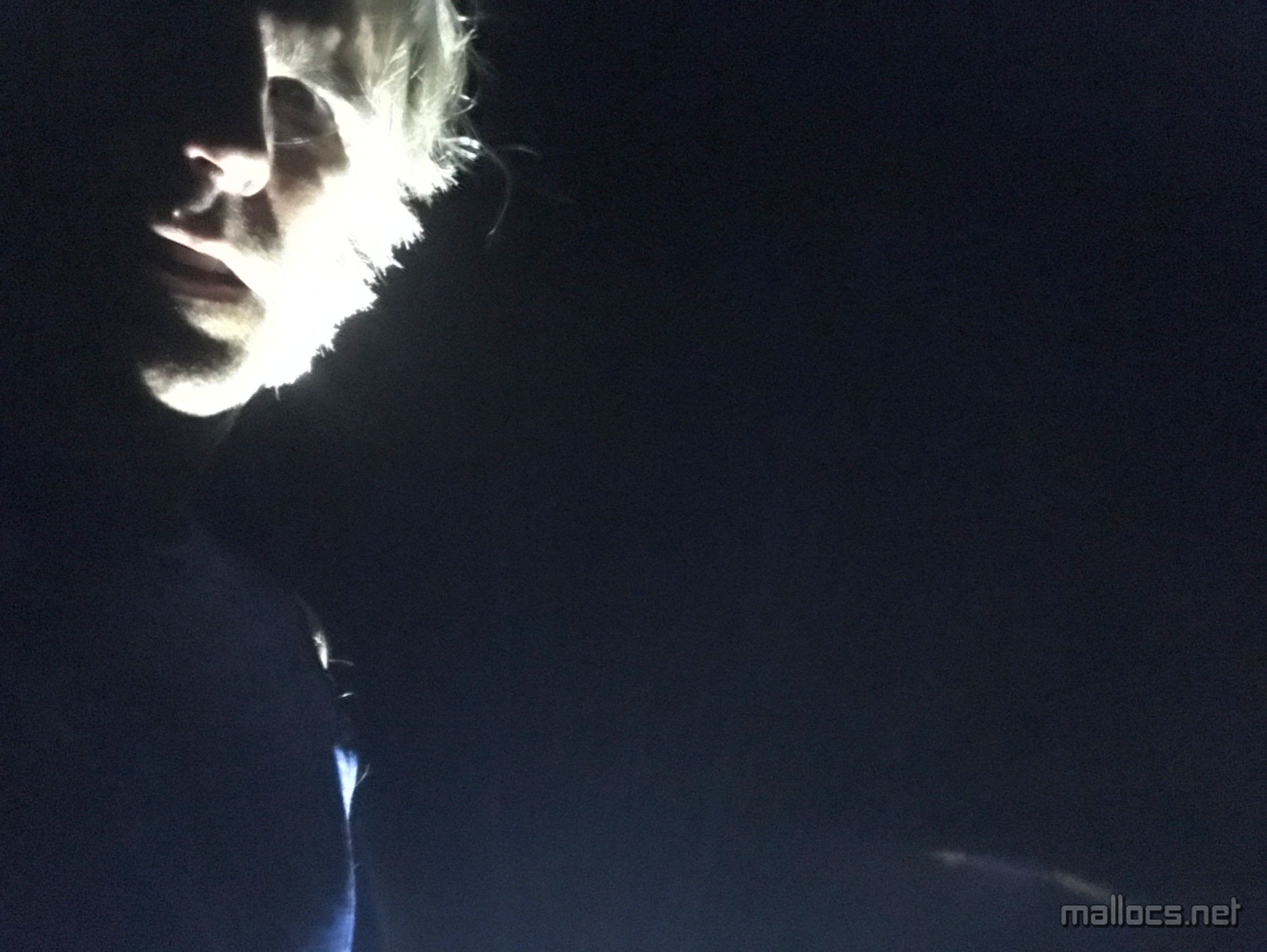
That uneasy feeling seeing the sun set when you're 8 miles hike from your car and you have to hike back through a scary burned over forest alone in the dark.
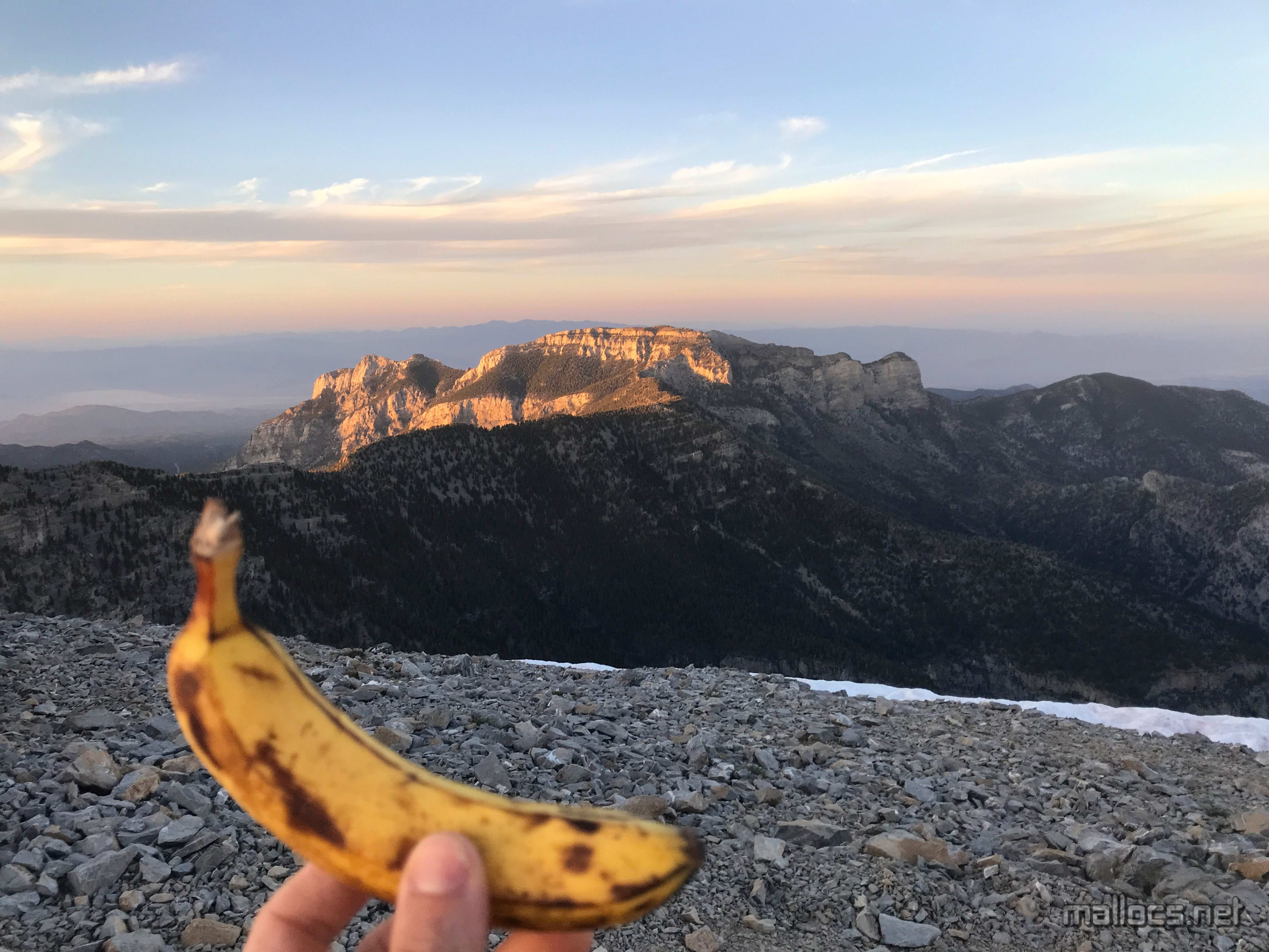
Banana summit challenge accomplished.
How fast can I run this ridge? Not very fast it turns out.

Bye, bye sun. Just me and the dead trees now. Also a massive swarm of beetles.
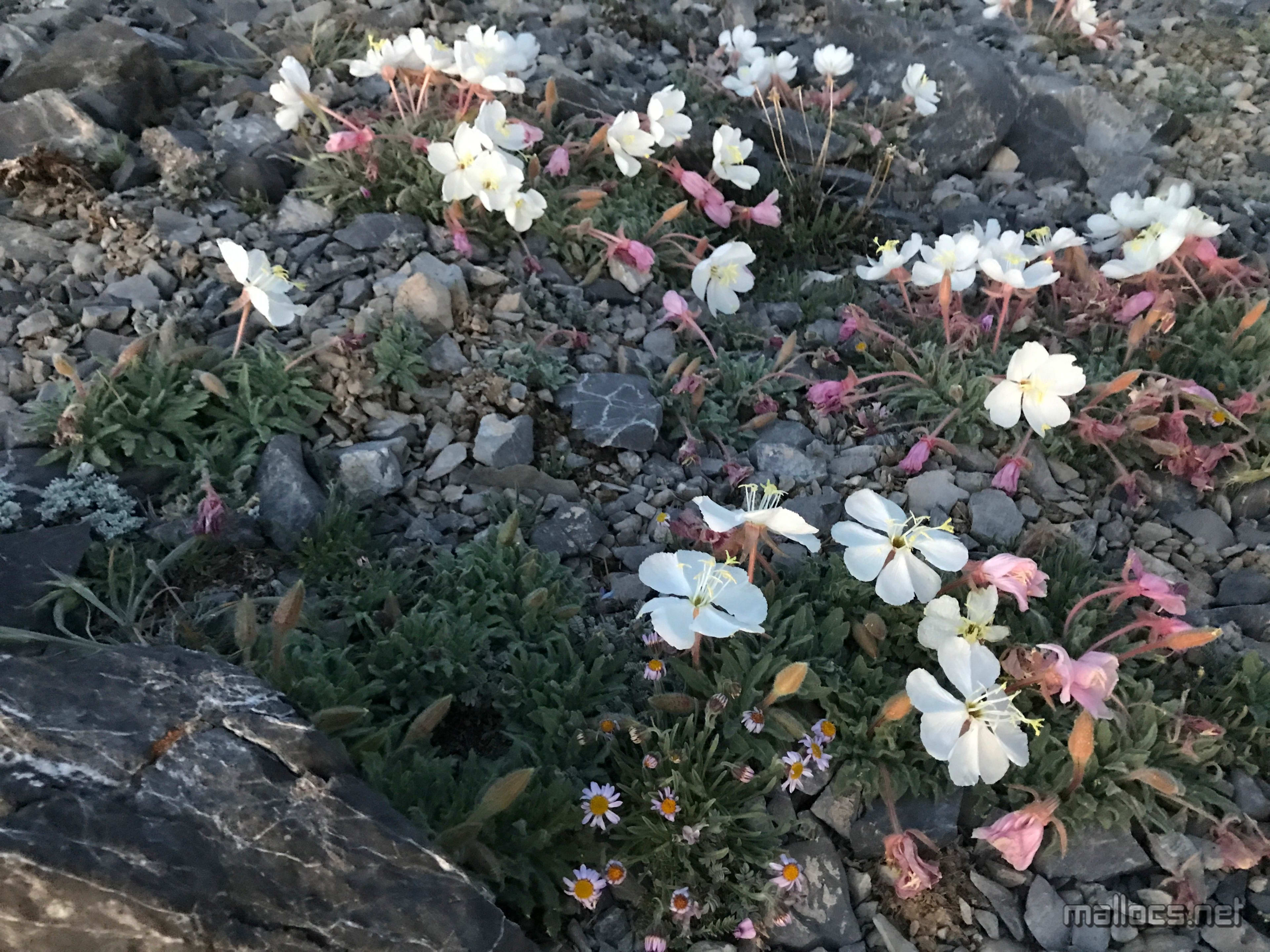
And a couple patches of flowers.
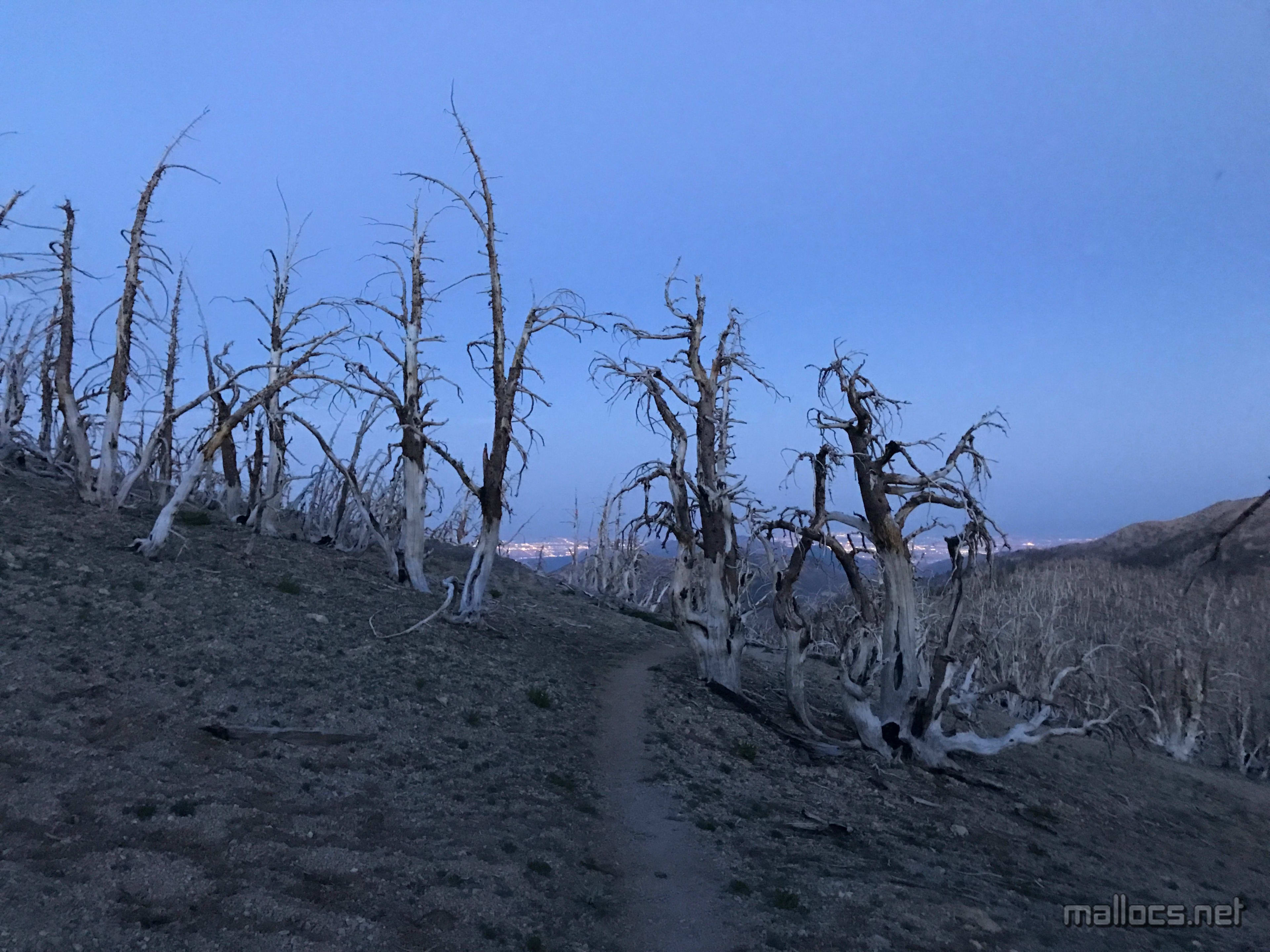
Into the haunted forest
It has a nice view at least.

I was trying to run this as much as possible so this is close to what it looked like.
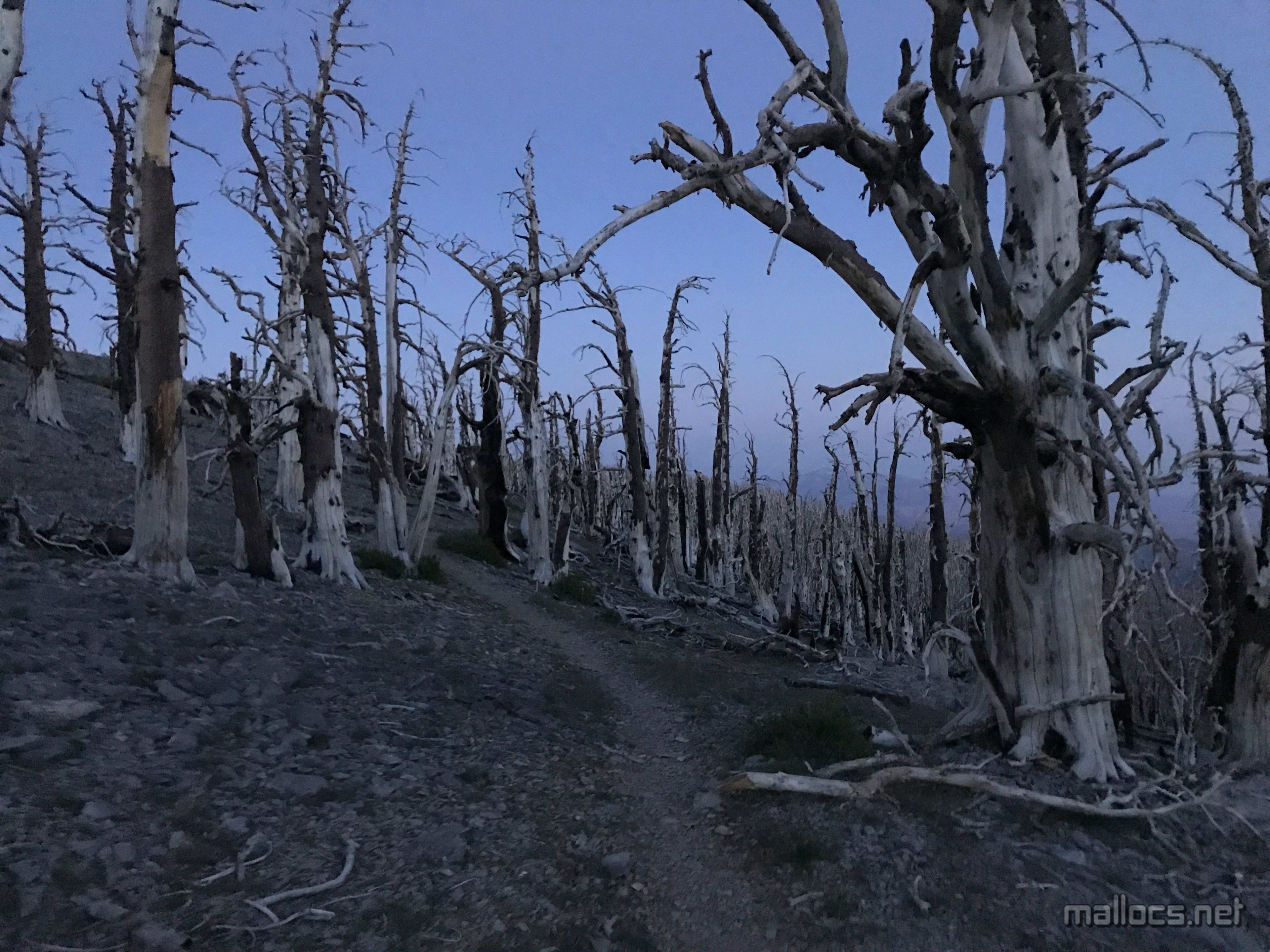
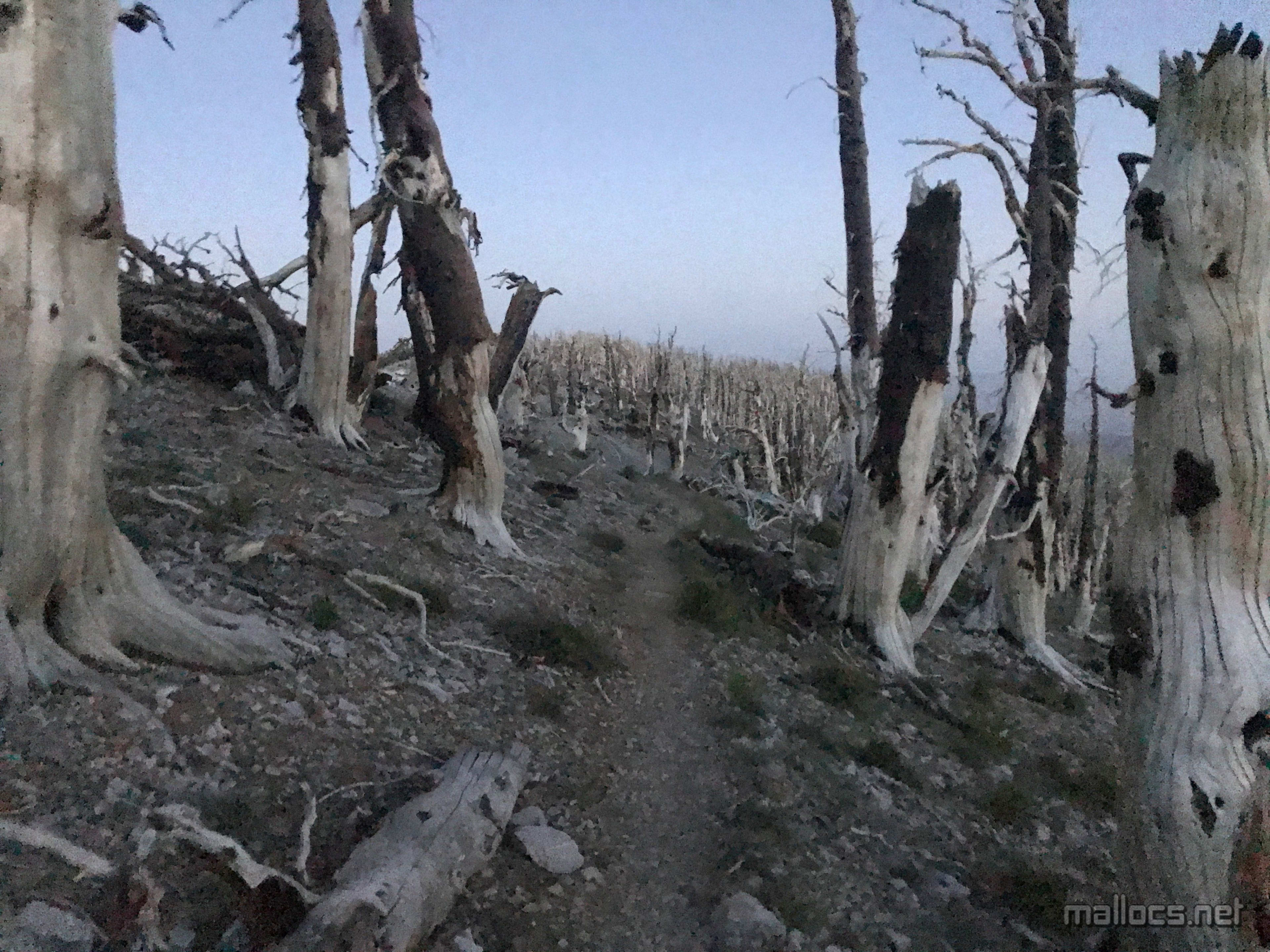
I'm not sure which picture looks creepier.
There's usually tons of wind here but this time everything was still and quiet.
The last 4 miles. Normally I can run this part pretty fast, but it seemed extra cobbly this time maybe because of all the snow and rain this year.
There was no moon at all this night. I usually try to do night hikes when there's a full as an extra backup for my headlamps and because moonlight looks cool but that didn't happen this time.
Back at the car after surviving the haunted forest. Or did I?